| Mt.Rausudake(羅臼岳1661m) =Shiretoko volcano group= |
|
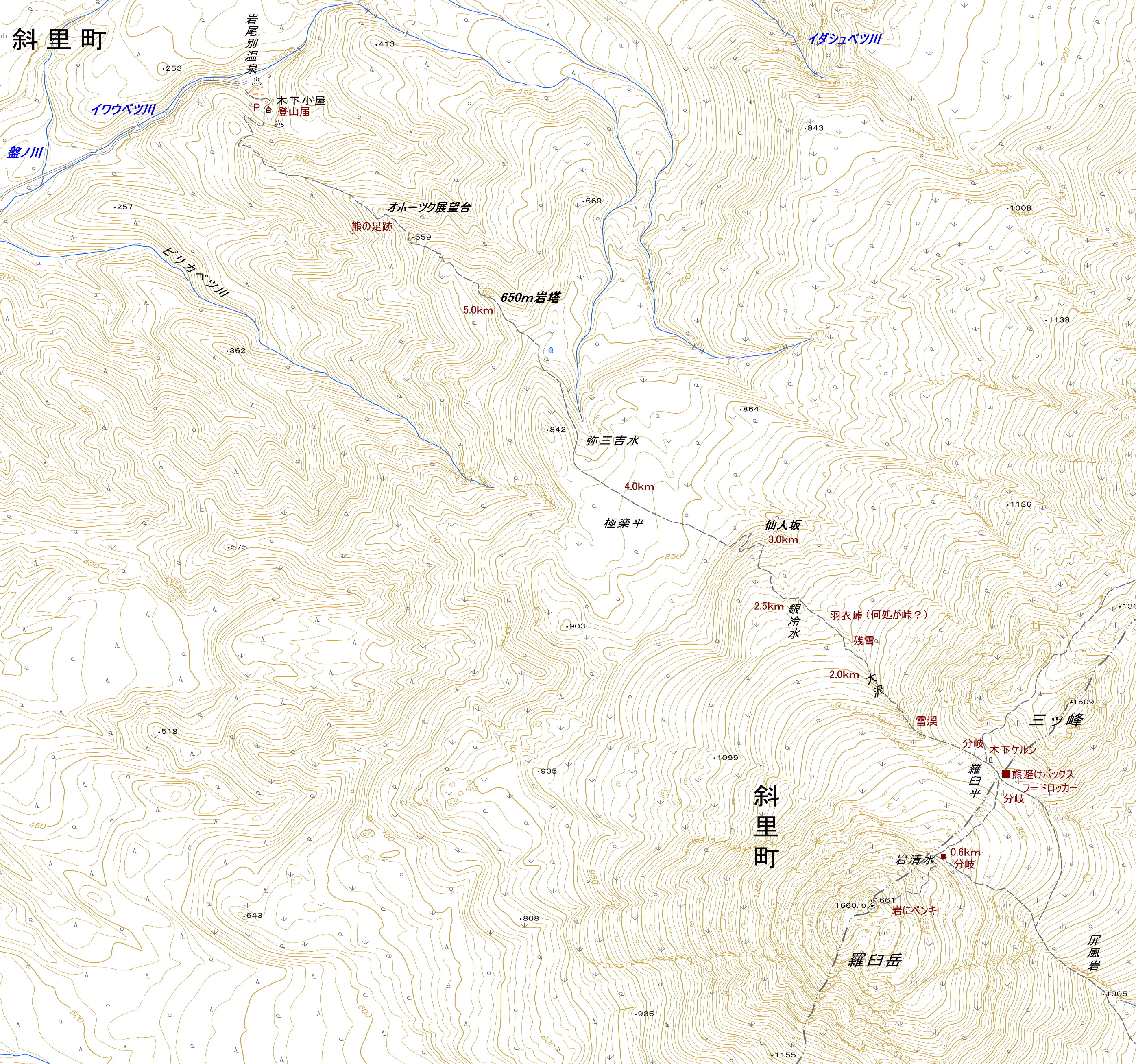
Guide Mt.Rausudake (羅臼岳) is also called Shiretoko Fuji. Mt.Rausudake of the highest peak in Shiretoko Peninsula is a stratovolcano. The Shiretoko National Park including Mt.Rausudake is the Shiretoko World Heritage Site.There are two trails to the peak. SHARI(斜里) trail:It is a popular trail. There is also a hot spring near the trailhead. [ascent:4hr40min, descent:3hr10min] RAUSU(羅臼) trail:[ascent:5hr, descent:3hr30min] The main peaks of Shiretoko volcano group are as follows. Mt.Mitumine(三ツ峰)1,509m Mt.Saisirudake(サイシル岳)1,564m Mt.Okkabakedake(オッカバケ岳)1,462m Mt.Chienbetudake(知円別岳)1,544m Mt.Iouzan(硫黄山)1,562m Mt.Siretokodake(知床岳)1,253.9m Map of GSI Map of Google GPS track |
| SHARI trail Ascent:4hr 40min, descent: 3hr 10min. |
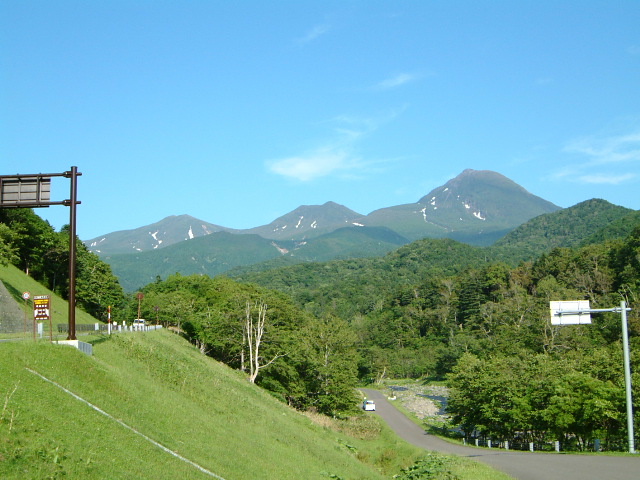 |
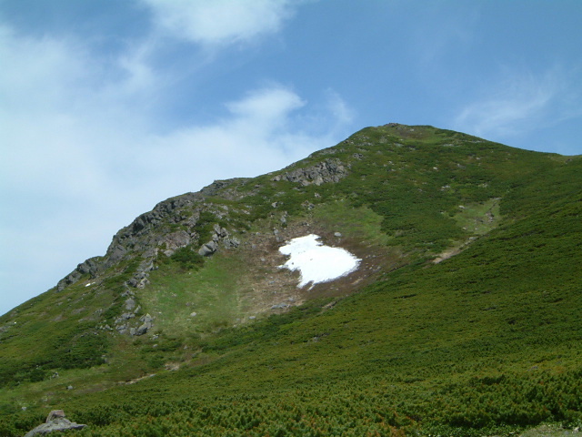
| view of Mt.Saisirudake,Mt.Mitumine and Mt.Rausudake at foot of mountain |
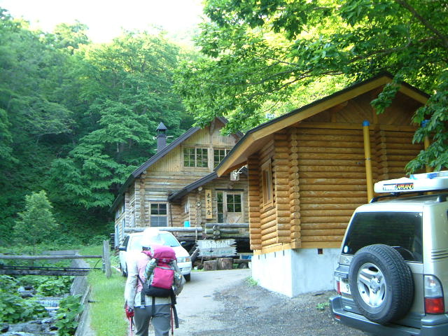 |
| trailhead |
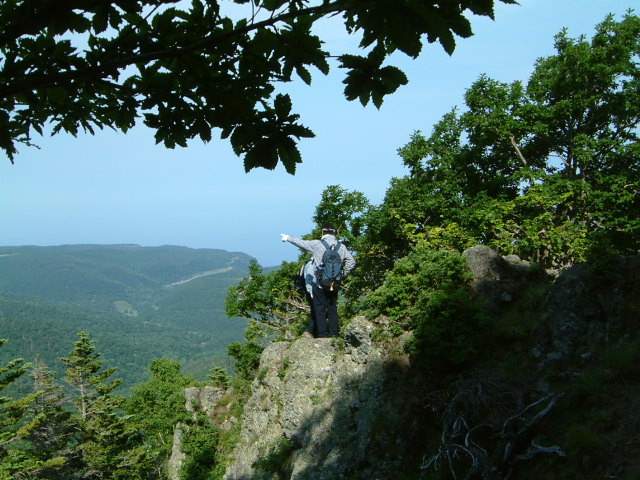 |
| Okhotsk observatory |
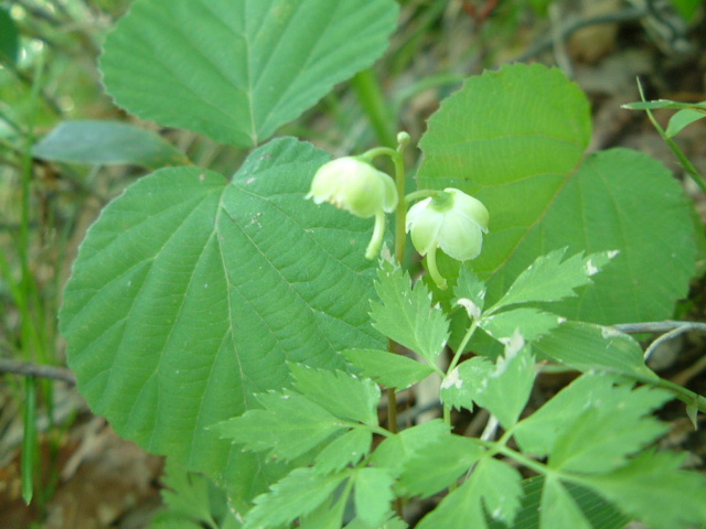 |
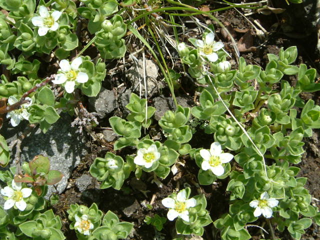
| pyrola alpina (コバノイチヤクソウ:kobanoichiyakuso) |
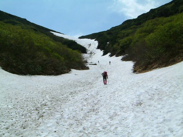 |
| Snowy valley |
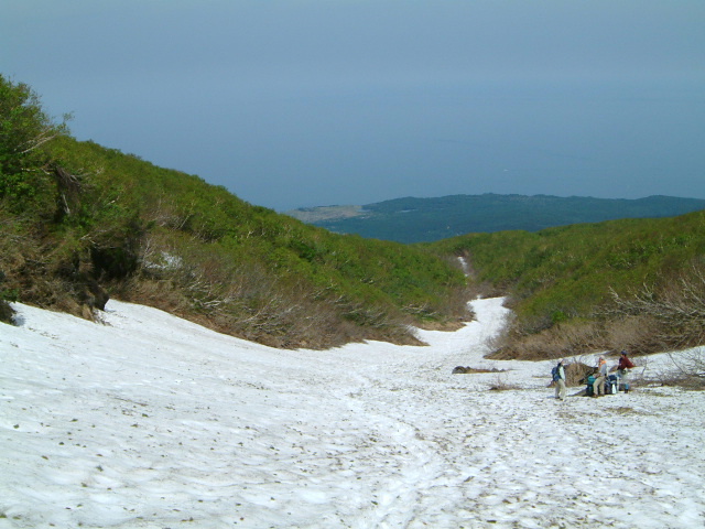 |
| The Sea of Okhotsk from the snowy valley |
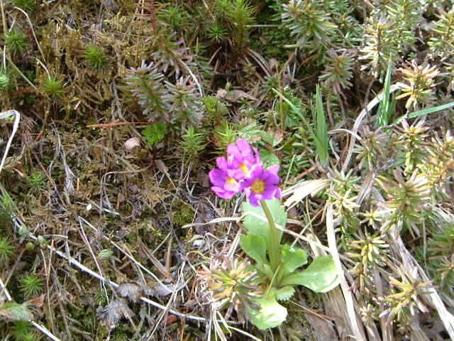 |
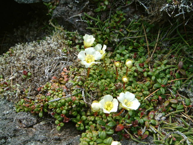
| p.modesta v.fauriei (ユキワリコザクラ:yukiwarikozakura) |
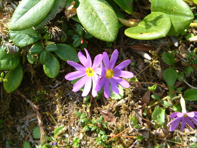 |
| p.modesta v.fauriei (ユキワリコザクラ:yukiwarikozakura) |
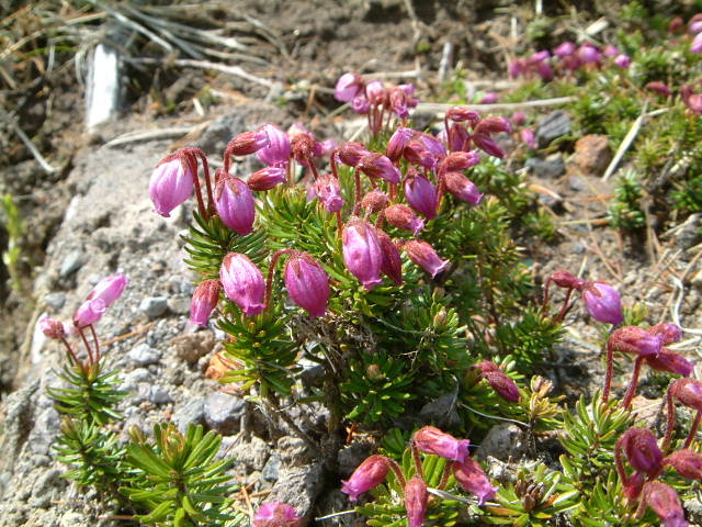 |
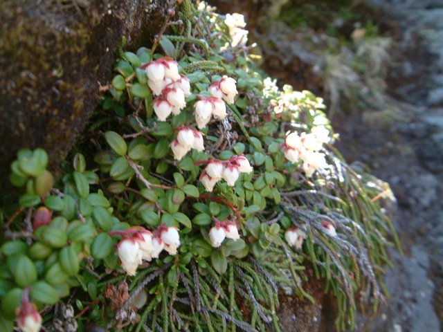
| phyllodoce caerulea (エゾノツガザクラ:ezotugazakura) |
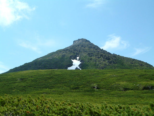 |
| Summit of Mt.Rausudake |
 |
| parnassia palustris (ウメバチソウ:umebachiso) |
 |
| Shaped like animal |
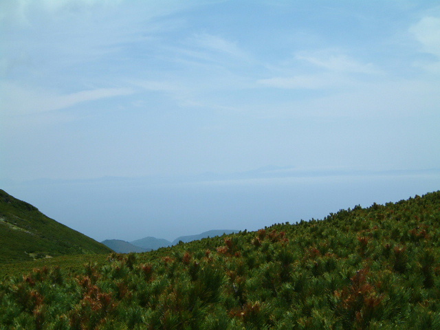 |
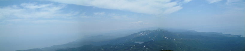
| The Sea of Okhotsk |
 |
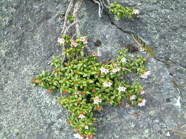
| arcterica nana (コメバツガザクラ:komebatugazakura) |
 |
| loiseleuria procumbens (ミネゾウminezo) |
 |
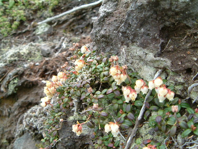
| diapensia lapponica v. obovata (イワウメ:iwaume) |
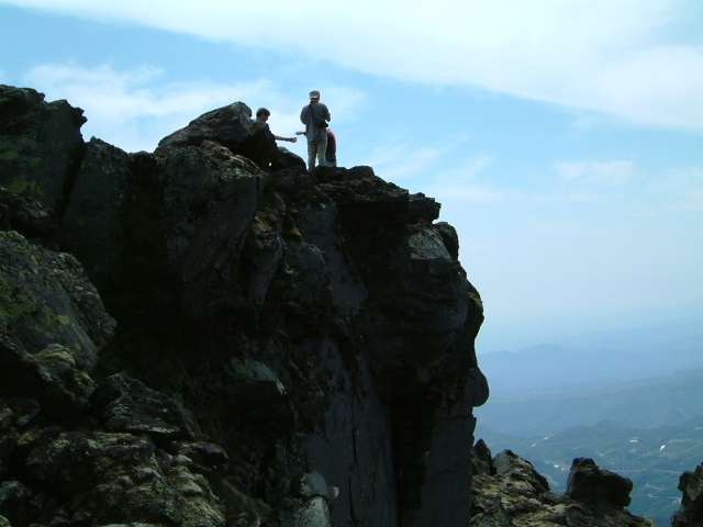 |
| Rock tower at the summit |
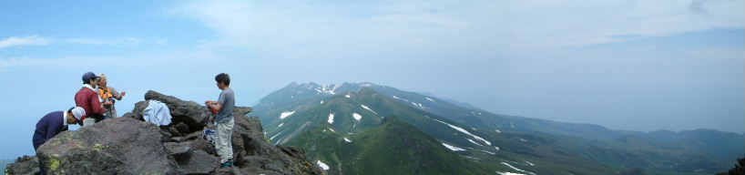 |
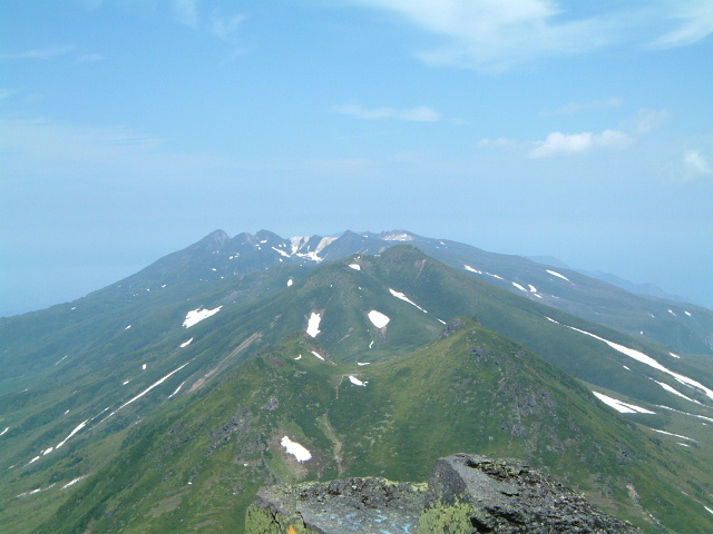
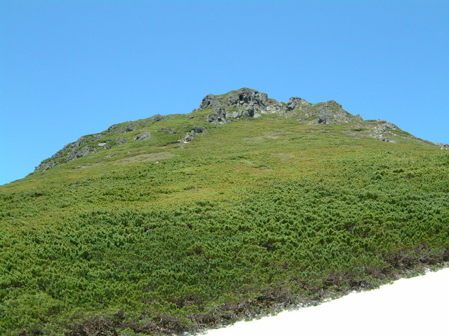
| Shiretoko range of mountains |
 |
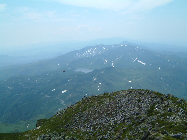
| Lake Rausu |
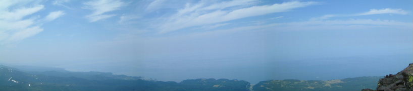 |
| The Sea of Okhotsk |
 |
| view of Red wall |
 |
| Mt.Mitumine(三ツ峰) |
 |
| arcterica nana and cassiope lycopodioides (コメバツガザクラ:komebatugazakura) |
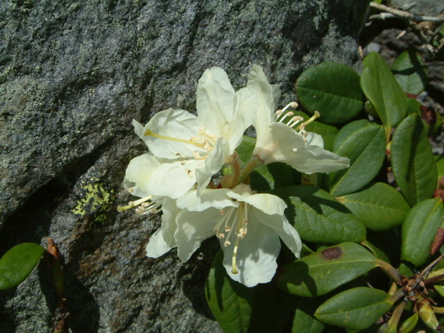 |
| rhododendron aureum (キバナシャクナゲ:kibanashakunage) |
 |
| Summit of Mt.Rausudake |
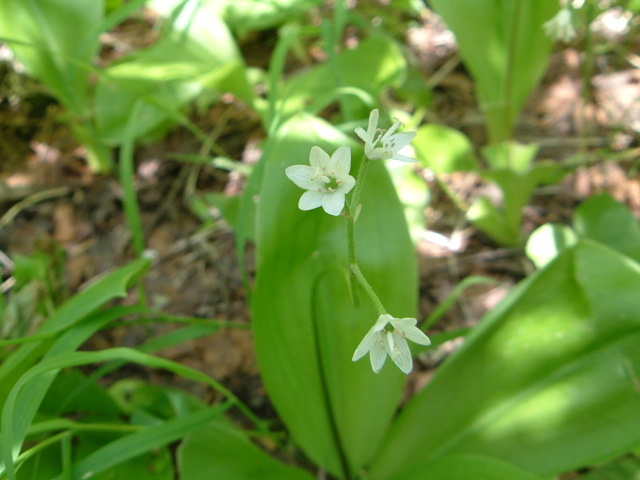 |
| clintonia udensis (ツバメオモト:tubameomoto) |
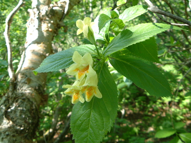 |
| weigela middendorffiana (ウコンウツギ:ukonutugi) |
|
INDEX Record of hiking |