| Mt.Midoridake(緑岳2,020m) =Taisetsuzan Volcanic Group= |
|
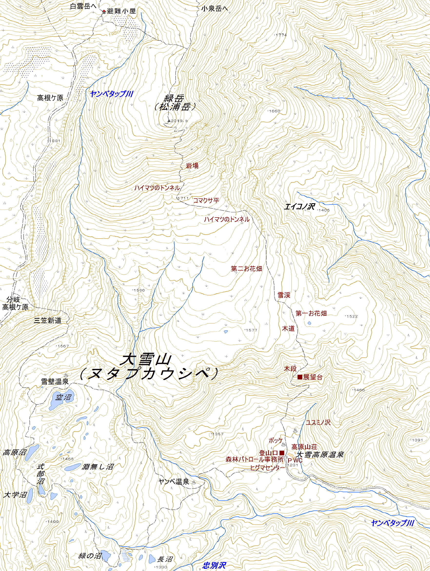
Guide There is a trailhead of Mt.Midoridake in Daisetukogeonsen(大雪高原温泉). In the foliage season, it is a place where many tourists and hikers visit. Because cars come and go in the narrow dirt road, you drive carefully. Mountain trail well-groomed has continued to summit. Map of GSI Map of Google GPS track |
| Ascent:about 3hours, descent:2hours 15min. |
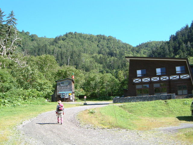 |
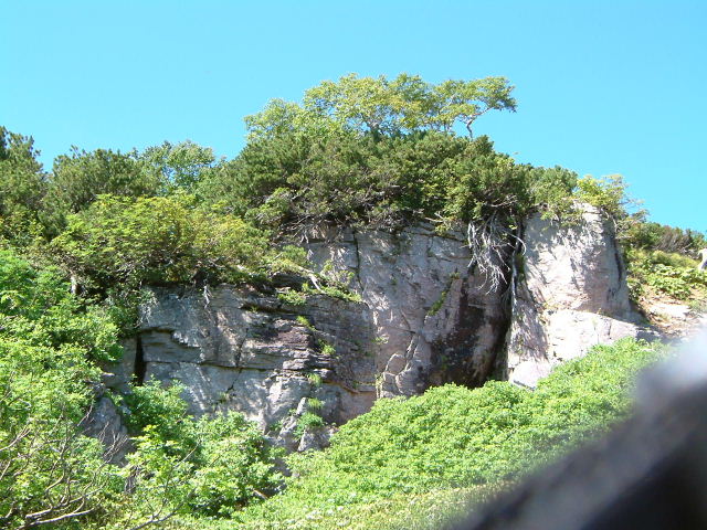
| Trailhead of Mt.Midoridake |
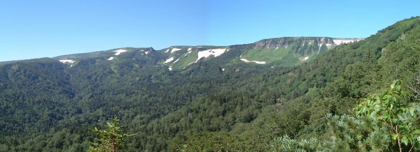 |
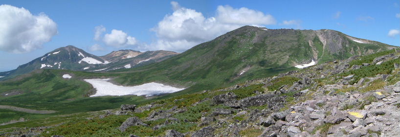
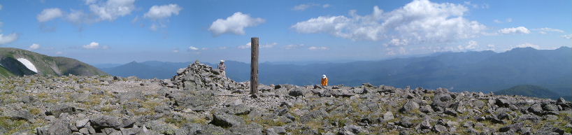
| Mt.Chubetsudake, Mt.Hiragadake, Takanegahara from observatory |
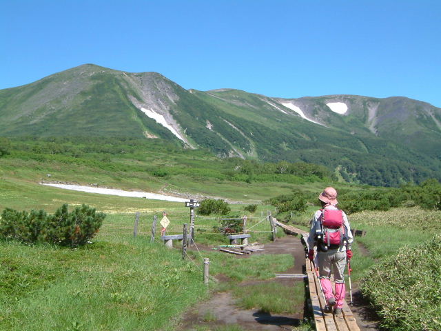 |
| boardwalk |
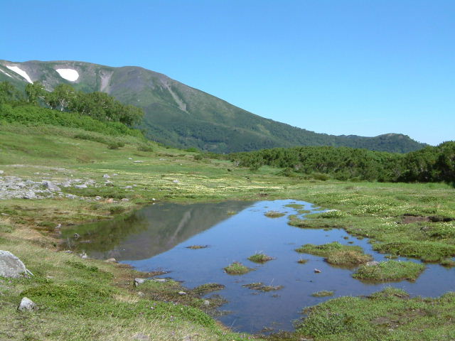 |
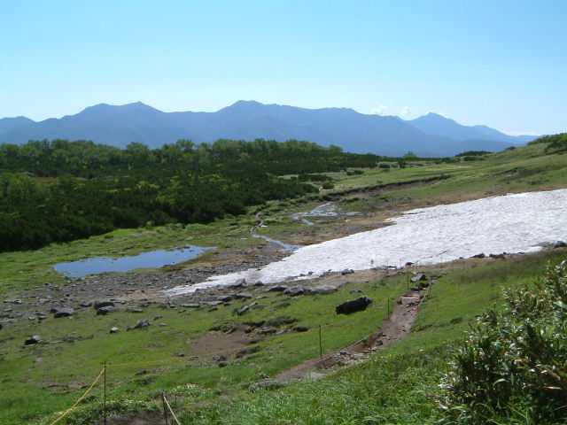
| Swamp and Mt.Higasidake |
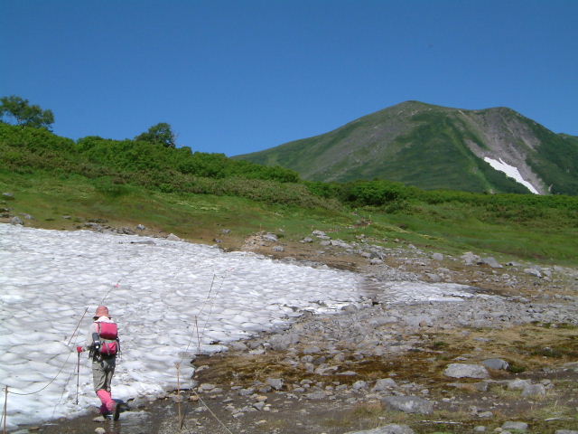 |
| walking on the permanent snow |
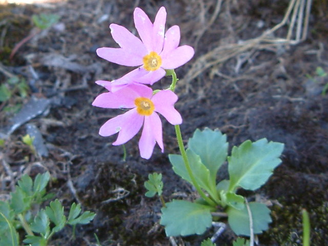 |
| Primula cuneifolia (エゾコザクラ:ezokozakura) |
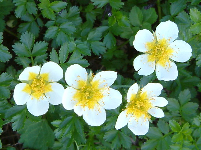 |
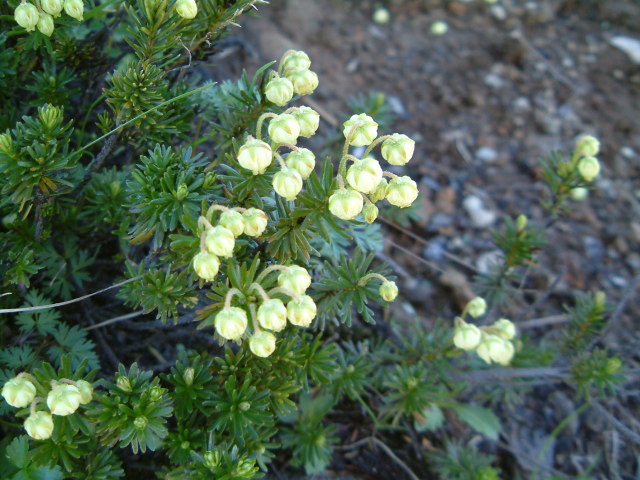
| Geum pentapetalum (チングルマ:chinguruma) |
 |
| Phyllodoce aleutica (アオノツガザクラ:aonotugazakura) |
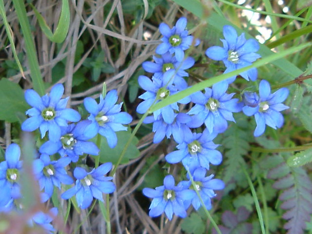 |
| G.nipponica (ミヤマリンドウ:miyamarindo) |
 |
| looking back on Mt.Nipesotsu |
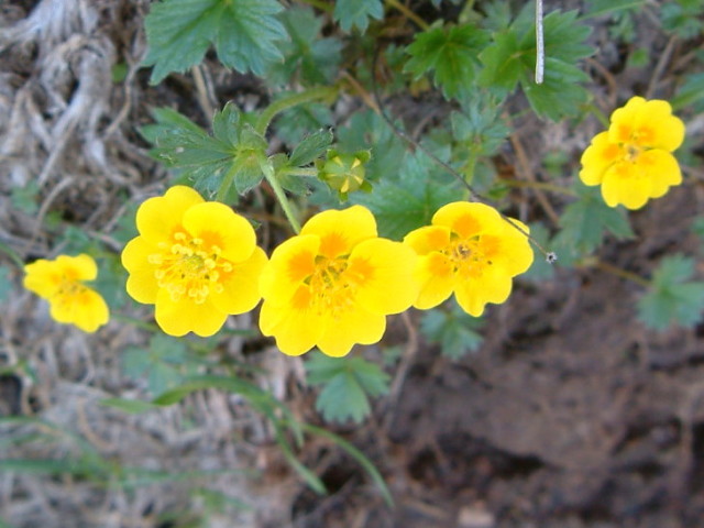 |
| Ranunculus acris v. nipponicus (ミヤマキンポウゲ:miyamakinpoge) |
 |
| Rock of strange shape |
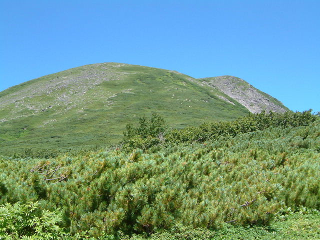 |
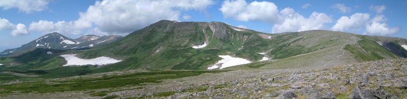
| Green Smooth surface of Mt.Midoridake |
 |
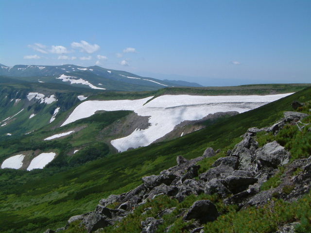
| White dog of TakanegaHara(高根ケ原) |
 |
| A cloud seemed to come out of a rock |
 |
| White dog of TakanegaHara |
 |
| Mt.Asahidake(旭岳) MT.Kumagadake(熊ケ岳) Mt.Hakuundake(白雲岳) |
 |
| White dog of TakanegaHara |
 |
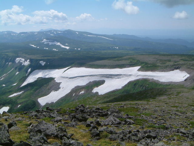
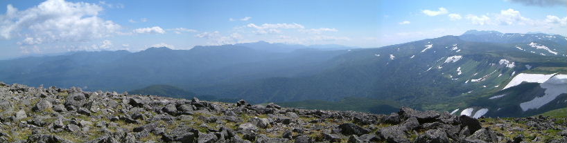
| Mt.Tomurausiyama(トムラウシ山)Flat ridge of Takanegahara(高根ケ原)Mt.Asahidake(旭岳) |
 |
| Mt.Asahidake(旭岳)MT.Kumagadake(熊ケ岳)Mt.Hakuundake(白雲岳) |
 |
| Mt.Shiyubetudake(支湧別岳)MT.Kitamifuji(北見富士)Mt.Yuniisikaridake(ユニ石狩岳) |
 |
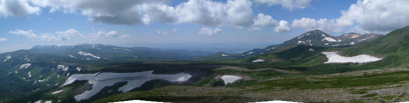
| Mt.Yuniisikaridake(ユニ石狩岳)Mt.Nipesotuyama(ニペソツ山)Mt.Tomurausi(トムラウシ山) |
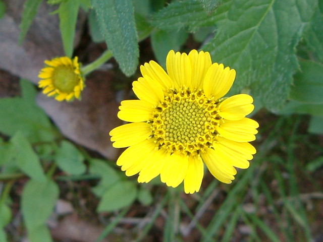 |
| Arnica unalascennis v. tschonskyi (エゾウサギギク:ezousagigiku) |
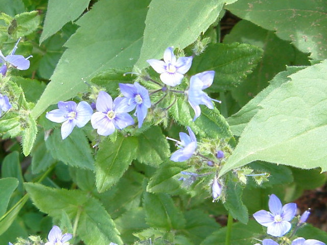 |
| V. schmidtiana v. yezoalpina (エゾヒメクワガタ:ezohimekuwagata) |
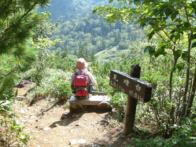 |
| resting on a bench at observation deck |
|
INDEX Record of hiking |