| Mt.Mashudake(摩周岳857m) |
|
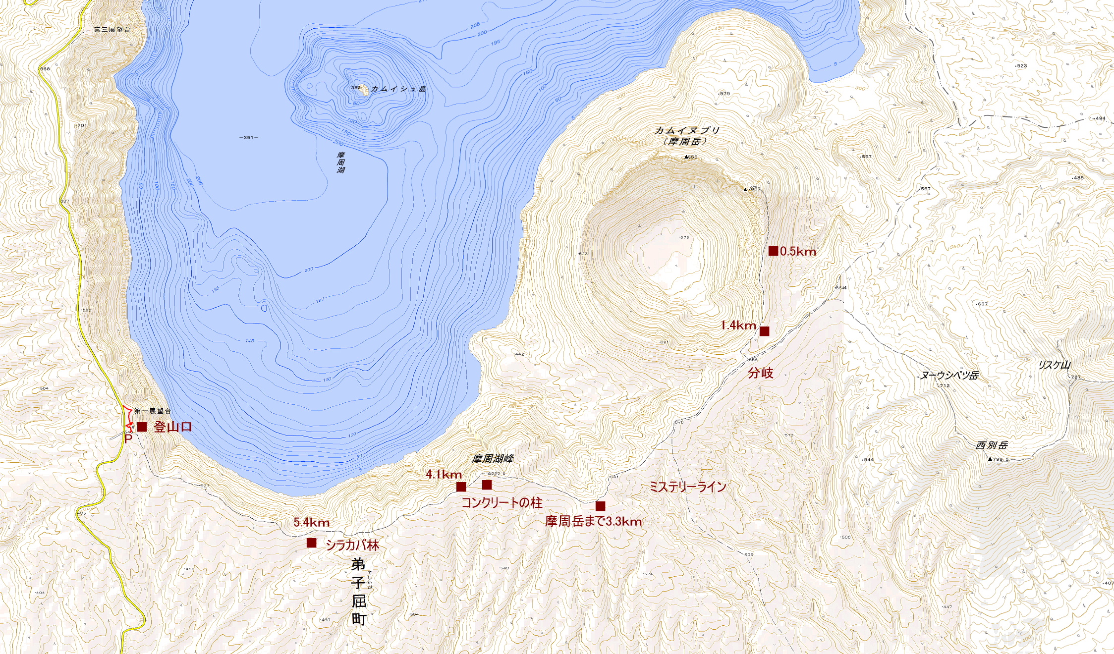
Guide Mt.Mashudake (摩周岳) is a explosion crater in the volcano erupted southeast wall of the Lake Mashu(摩周湖). Mt.Mashudake is Highest peak of Lake Mashu outer rim. Mt.Mashudake is an active volcano that is located within Akan-Mashu National Park. Mt.Mashudake is called an alias Kamuinupuri. Map of GSI Map of Google GPS track |
| The first Mashu observatory(摩周第一展望台) trail about 6hours round tirp. |
| In the counter-clockwise, with the aim of Mt.Mashudake to walk the outer rim of the ridge. |
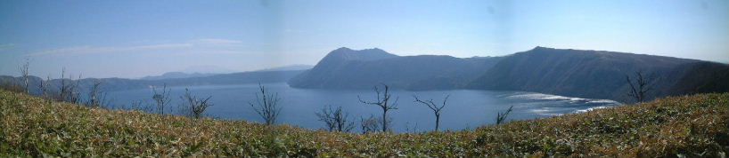 |
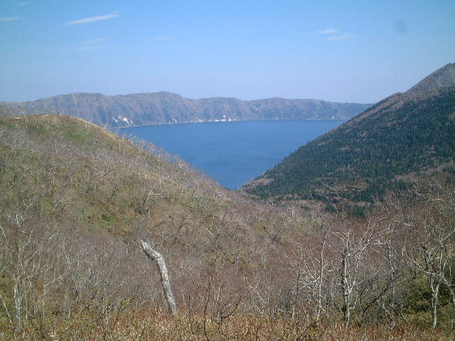
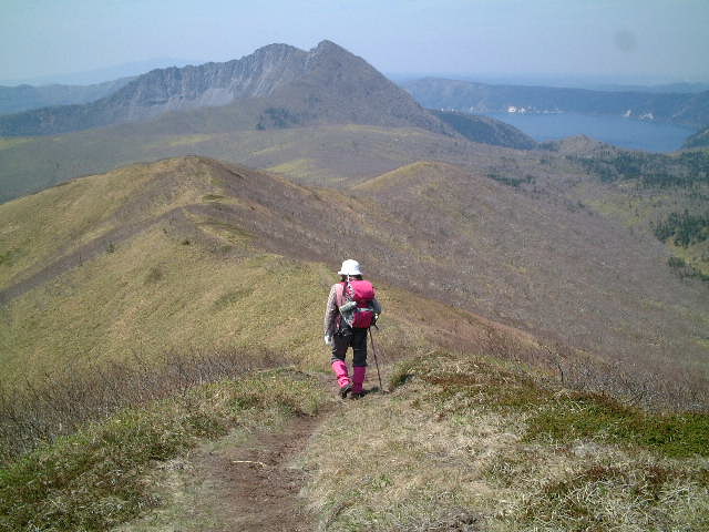
| Lake Mashu Mt.Mashudake |
 |
| Mt.Mashudake approaches |
 |
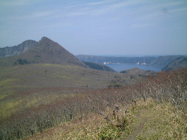
| Outer rim of a volcanic crater of Lake Mashu |
 |
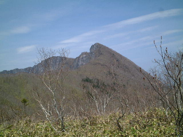
| Mt. Mashudake is nearer |
 |
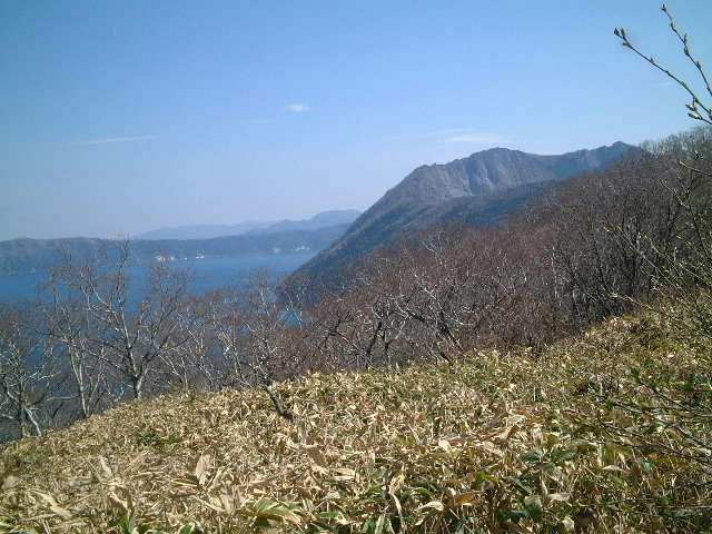
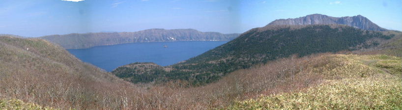
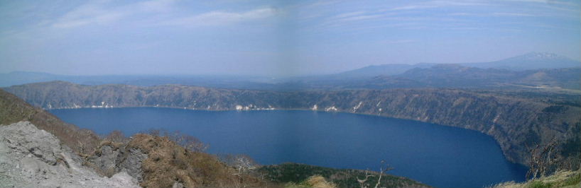
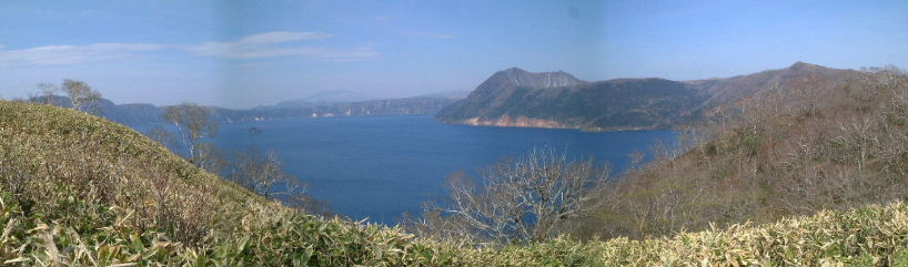
| Lake Mashu is like the ChampagneGlass |
| Lake Mashu is a caldera lake. Kamuisshu island floating in Lake Mashu is the central cone. |
 |
| Kamuisshu island is floating |
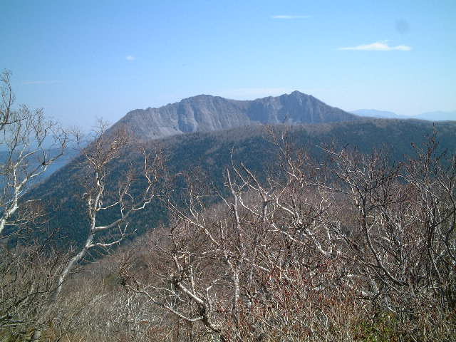
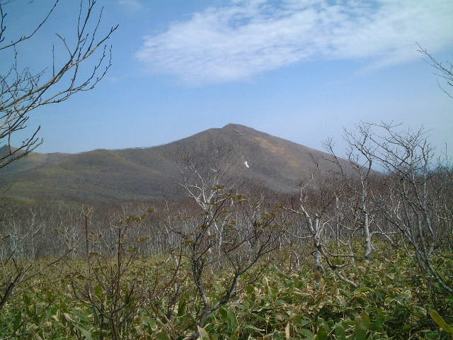
| Looking up the top of mt.Mashudake from the ridge of the outer rim. |
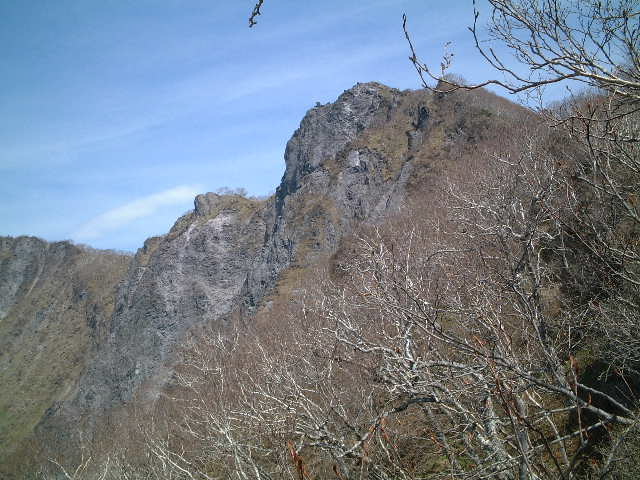 |
| Looking up the top of mt.Mashudake |
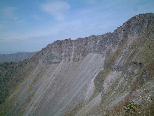 |
| Crater wall of Mt.Mashudake |
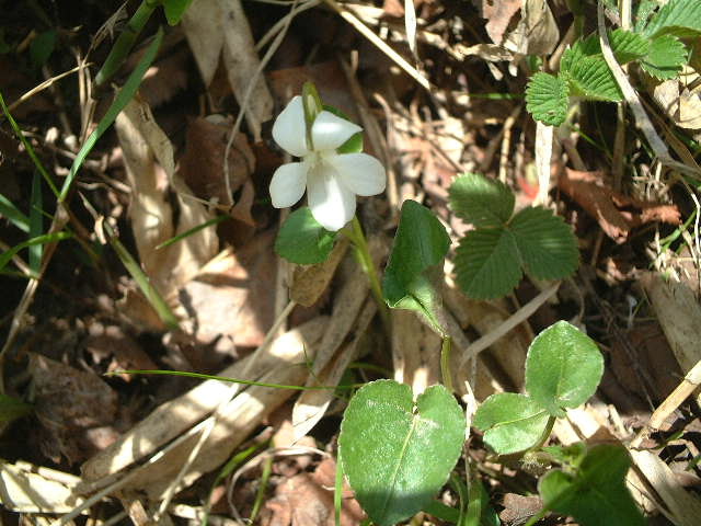 |
| White violet (スミレ:sumire) |
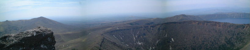 |
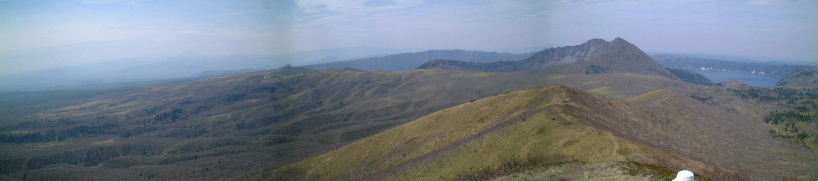
| Mt.Nisibetudake(799.8m,西別岳) outer rim of Mt.Mashudake Lake Mashu |
 |
| Mt.Mashudake Lake Mashu |
 |
| Mt.Sharidake(1547m,斜里岳) Summit |
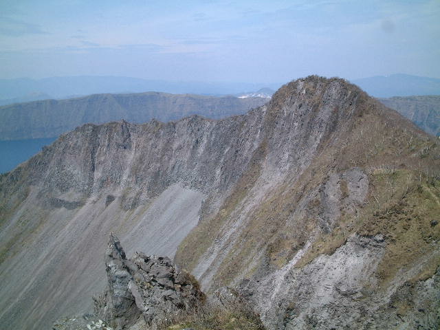 |
| Crater wall of Mt.Mashudake |
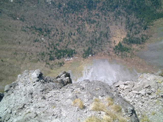 |
| Inside the crater of Mt.Mashudake |
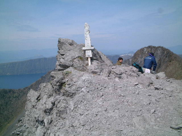 |
| Summit |
 |
| Lake Mashu |
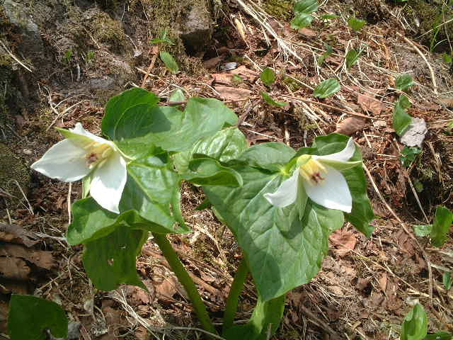 |
| T.tschonoskii (オオバナエンレイソ:oobanaenreiso) |
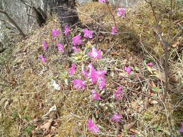 |
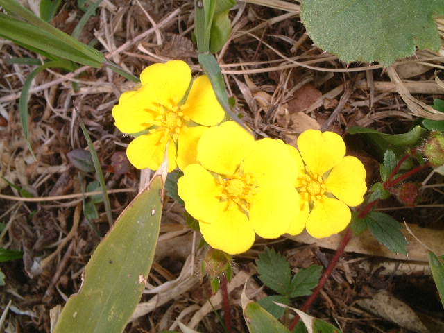
| R.dauricum (エゾムラサキツツジ:ezomurasakitutuji) |
| From the way to Mt.Nishibetsudake, look back at Mt.Mashudake. |
 |
| From the way to Mt.Mashudake |
| From the way to Mt.Nishibetsudake, look back at Mt.Mashudake and Lake Mashu. |
 |
| Mt.Mashudake and Lake Mashu |
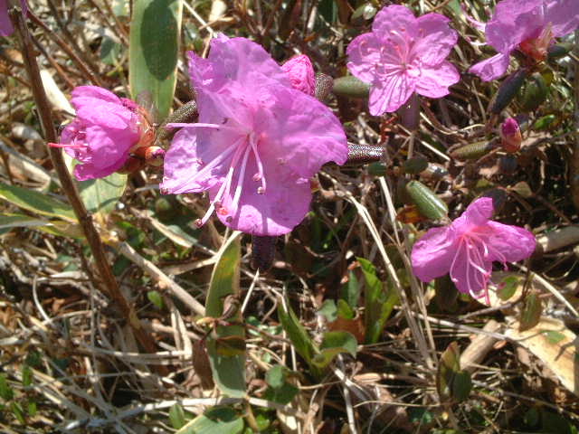 |
| R.dauricum (エゾムラサキツツジ:ezomurasakitutuji) |
 |
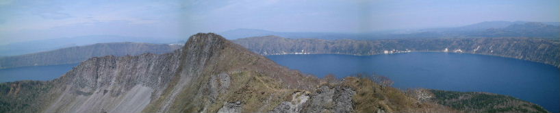
| Mt.Mashudake and Lake Mashu form Mt.Nisibetudake |
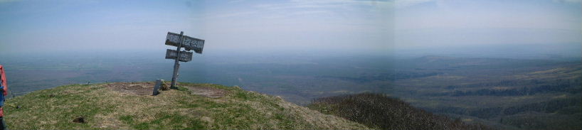 |
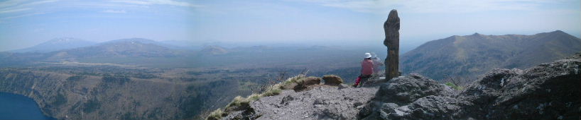
| Summit of Mt.Nisibetudake |
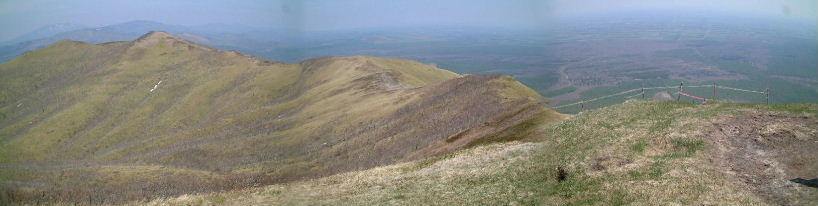 |
| Plain konsen(根釧平野) |
 |
| Turn back to Mt.Mashudake |
 |
| A.yezoenis (エゾイチゲ:ezoichige) |
 |
| Mt.Mashudake |
 |
| Strawberry (ヘビイチゴ:hebiichigo) |
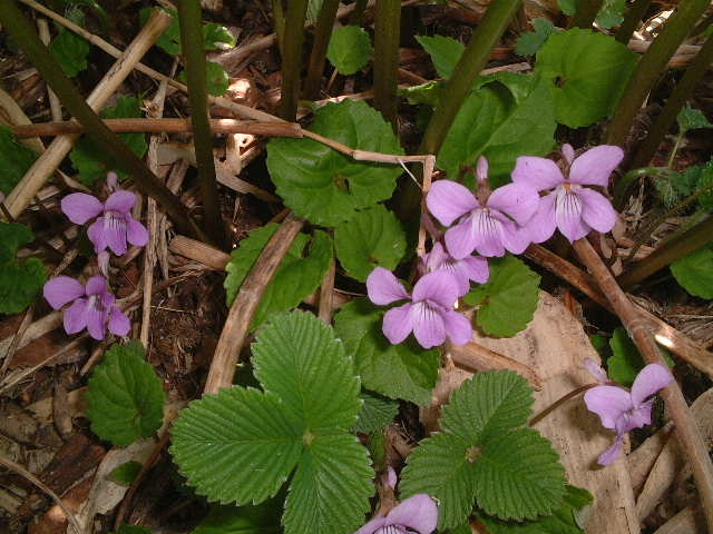 |
| V.vaginata (タチツボスミレ:tachitubosumire) |
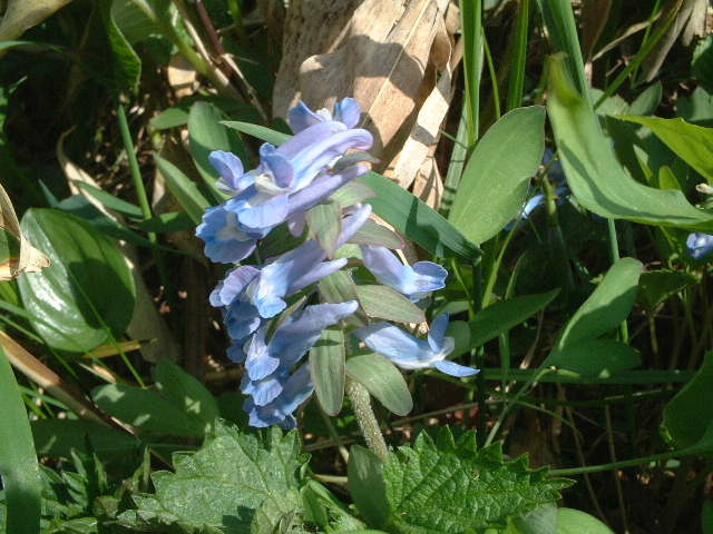 |
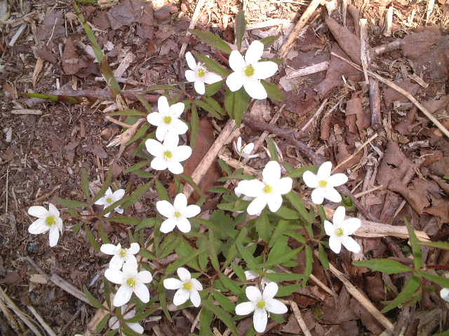
| Corydalis ambigua (エゾエンゴサク:ezoengosaku) |
| Look at the Mt.Mashudake from outer rim of Lake Mashu, hiking ends. |
 |
| Mt.Sharidake Mt.Mashudake |
|
INDEX Record of hiking |