| Daisetsu plateau swamps(大雪高原沼1,460m) =Taisetsuzan Volcanic Group= |
|
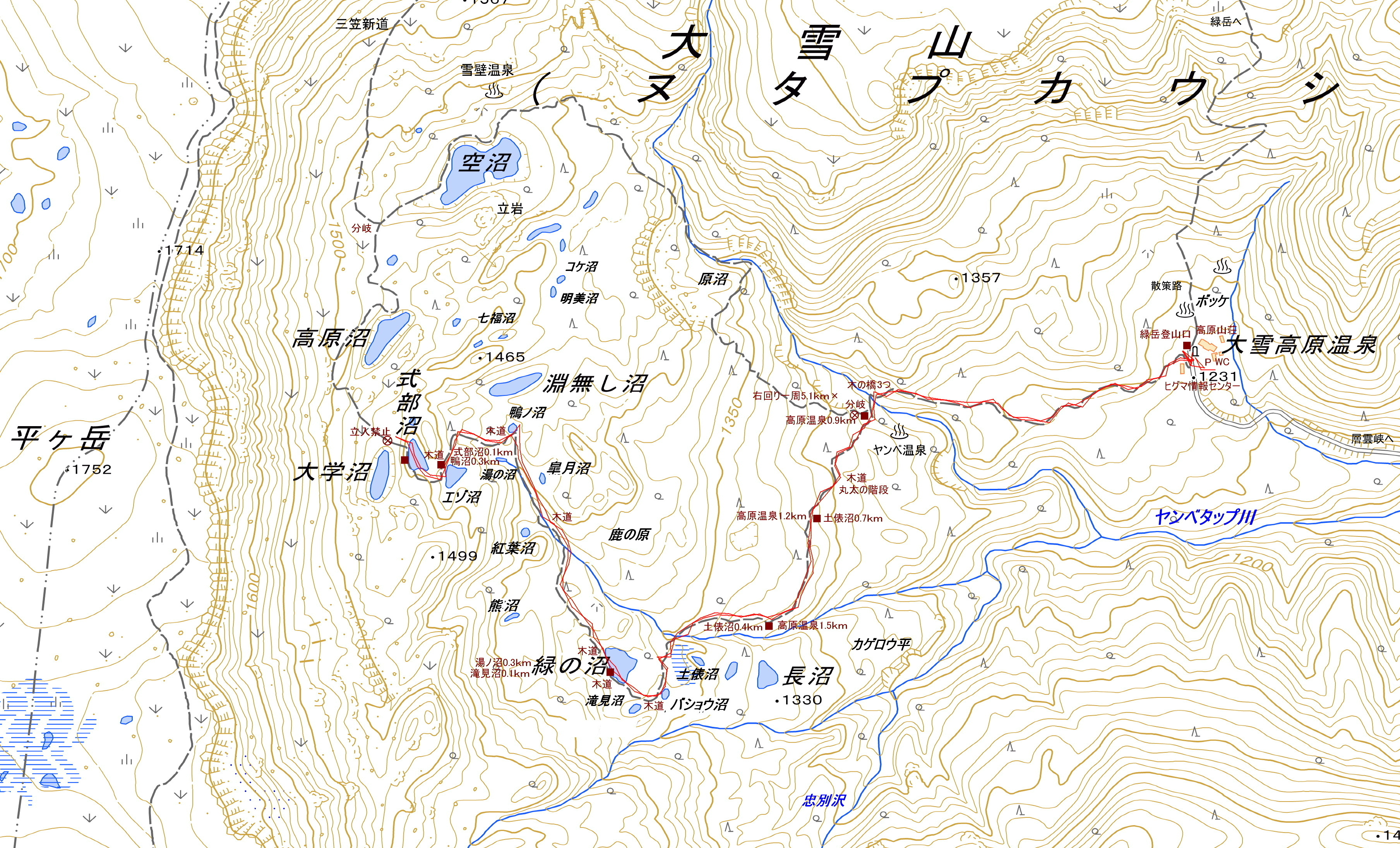
Guide Daisetsu Kogen Onsen(大雪高原温泉) is home to the trailheads to Mt. Midoridake and the Daisetsu Kogen Daisetsu plateau swamps, and is a popular destination for tourists and hikers during the autumn foliage season. The access road is a narrow gravel road, and there is a lot of traffic during the autumn foliage season. There are well-maintained hiking trails around the Daisetsu Kogen swamps. Map of GSI Map of Google GPS track |
| Ascent: about 1 hour and 30 minutes, descent: 35 minutes |
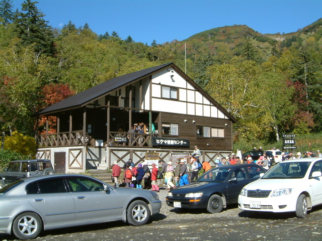 |
| Brown Bear Information Center |
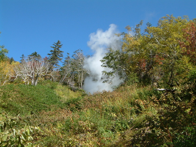 |
| Yanbe hot spring |
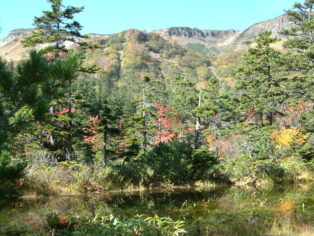 |
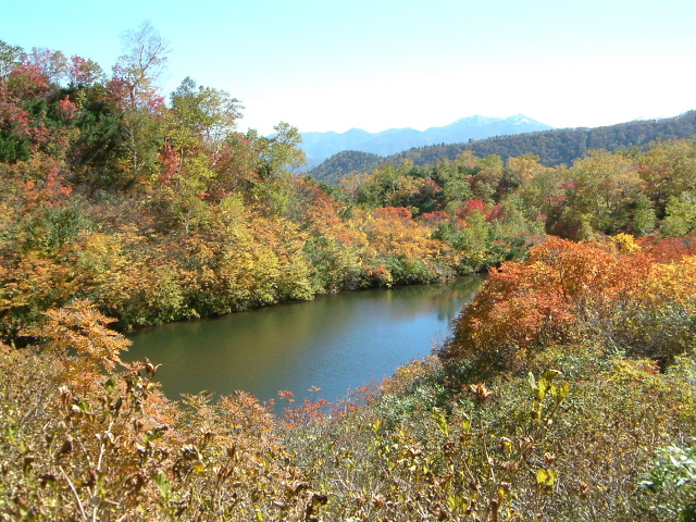
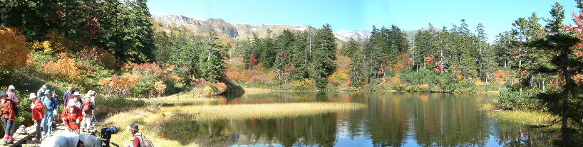
| Sumo ring swamp(土俵沼) and Mt.Hiragatake |
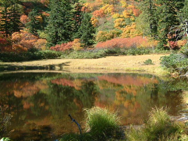 |
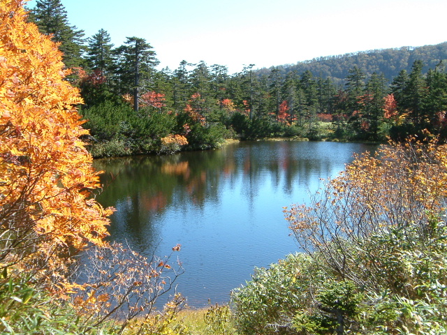
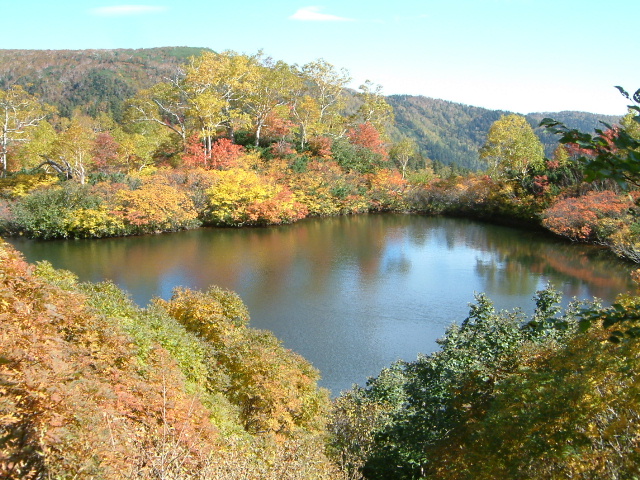
| Swamp called Takiminuma |
 |
| Takimi swamp and Mt.Hiragatake |
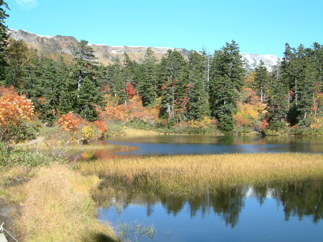 |
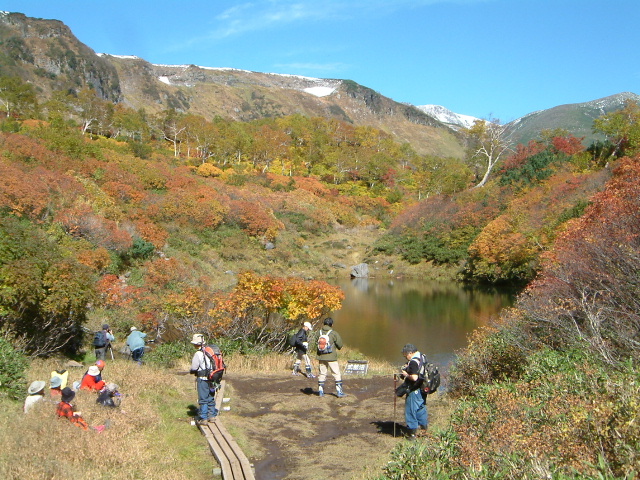
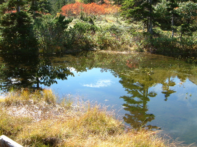
| Swamp called Midorinuma and Ridge of Takanegahara |
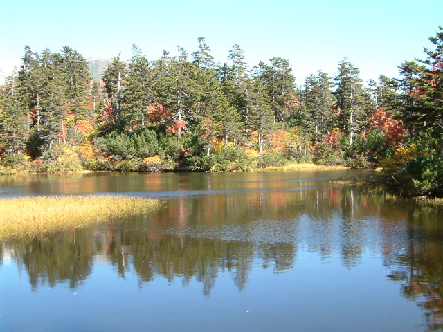 |
| Midori swamp |
 |
| looking back toward the Midori swamp |
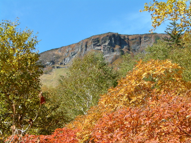 |
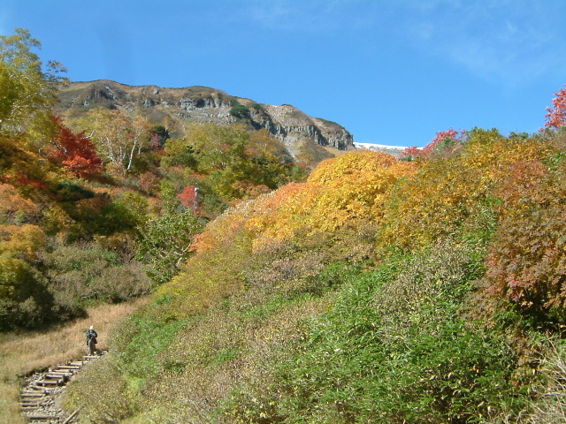
| Mt.Hiragadake |
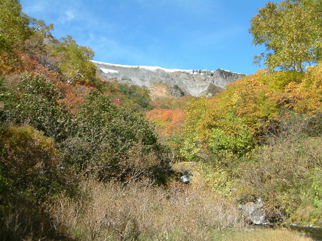 |
| Ridge of Takanegahara |
 |
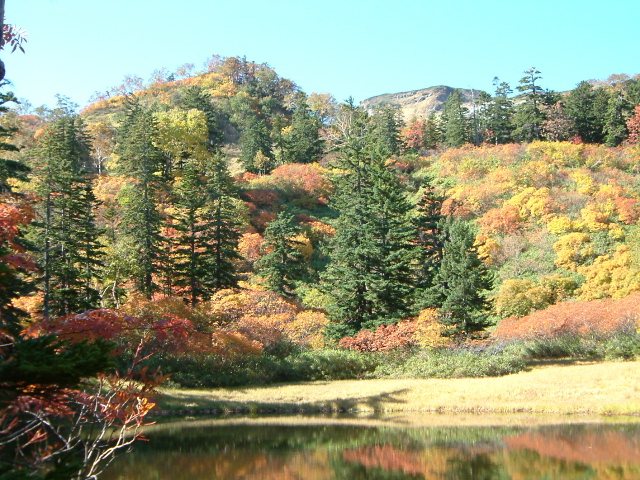
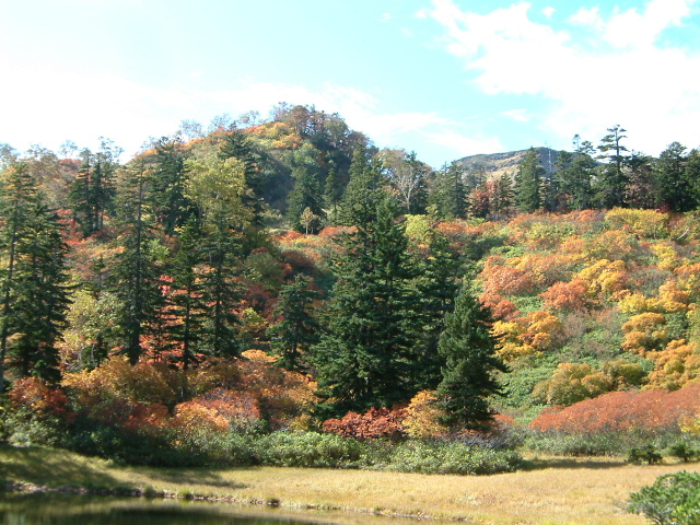
| MT.Hiragatake and colored leaves |
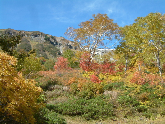 |
| MT.Hiragatake and colored leaves |
 |
| MT.Hiragatake and colored leaves |
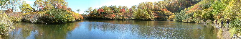 |
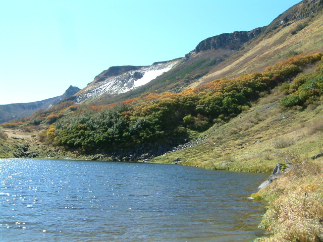
| Swamp called Ezonuma |
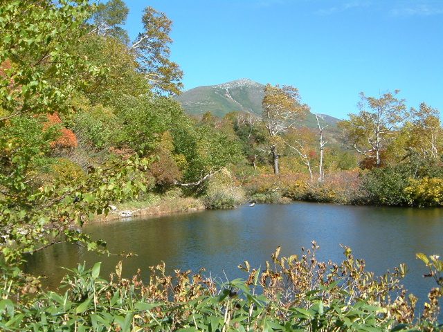 |
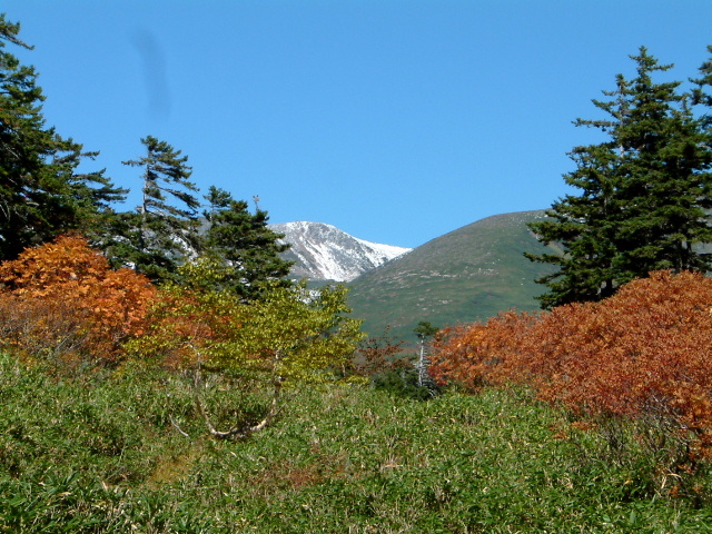
| Ezo swamp and Mt.Midoridake |
 |
| Ezo swamp |
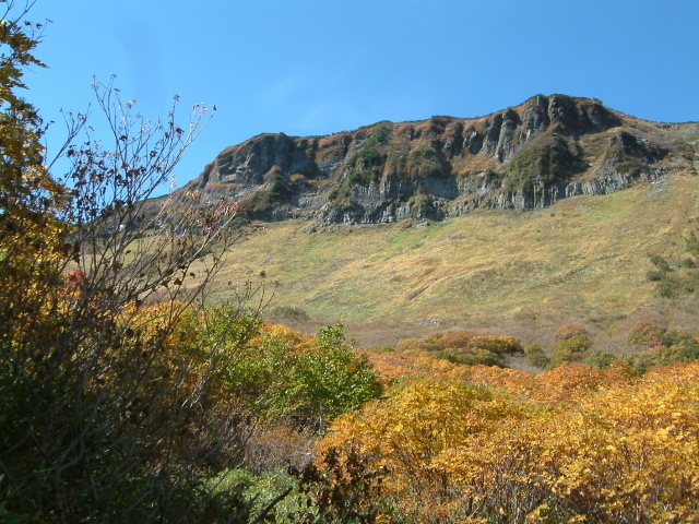 |
| Mt,Hiragadake |
 |
| Swamp called Sikibunuma and Mt.Hakuundake |
 |
| Swamp called Daigakunuma |
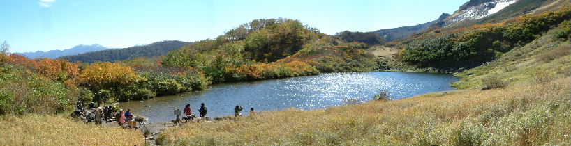 |
| Mt.Isikaradake Daigaku swamp Mt.Chubetudake |
 |
| Sikibu Swamp |
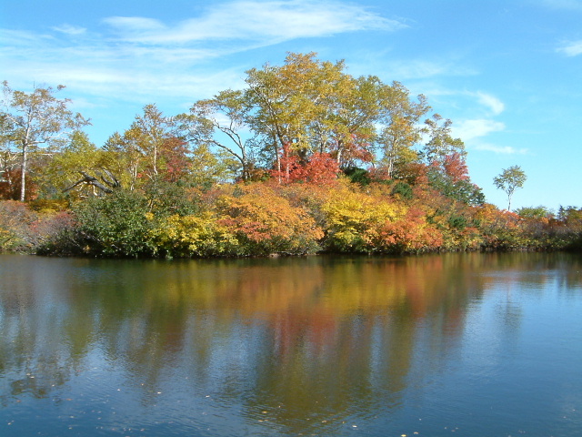 |
| Ezo swamp |
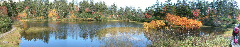 |
| Midoro swamp |
 |
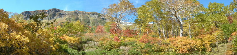
| Midori swamp,Mt.Hiragadake, Takanegahara ridge,Mt.Hakuundake and Mt.Midoridake |
 |
| Colored leaves of Takimi swamp |
 |
| Mt.Hakuundake |
 |
| Sumo ring swamp |
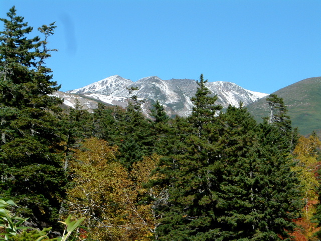 |
| Mt.Hkuundake |
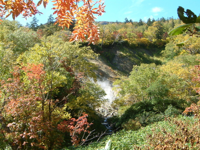 |
| Steam of the Yanbe hot spring |
|
INDEX Record of hiking |