Guide
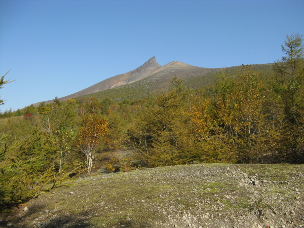
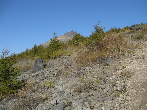
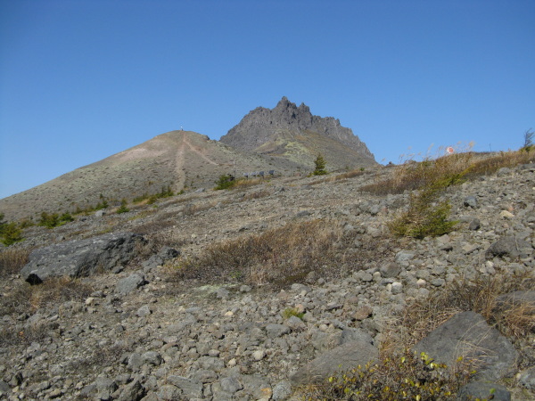
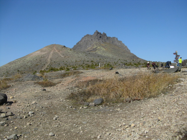
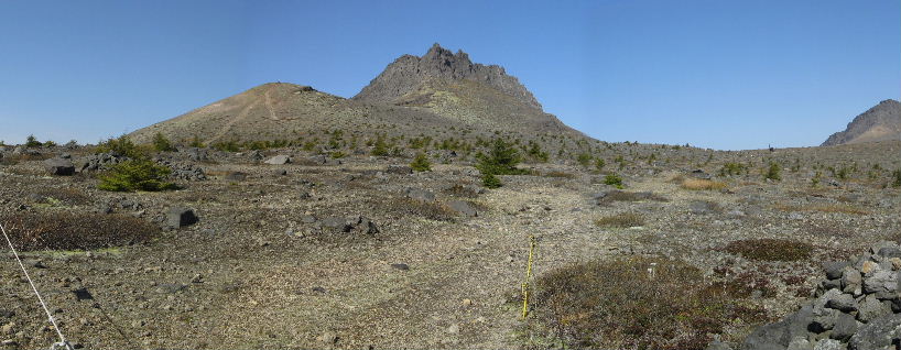
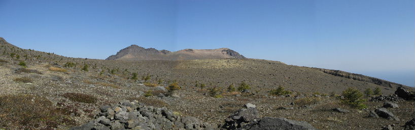
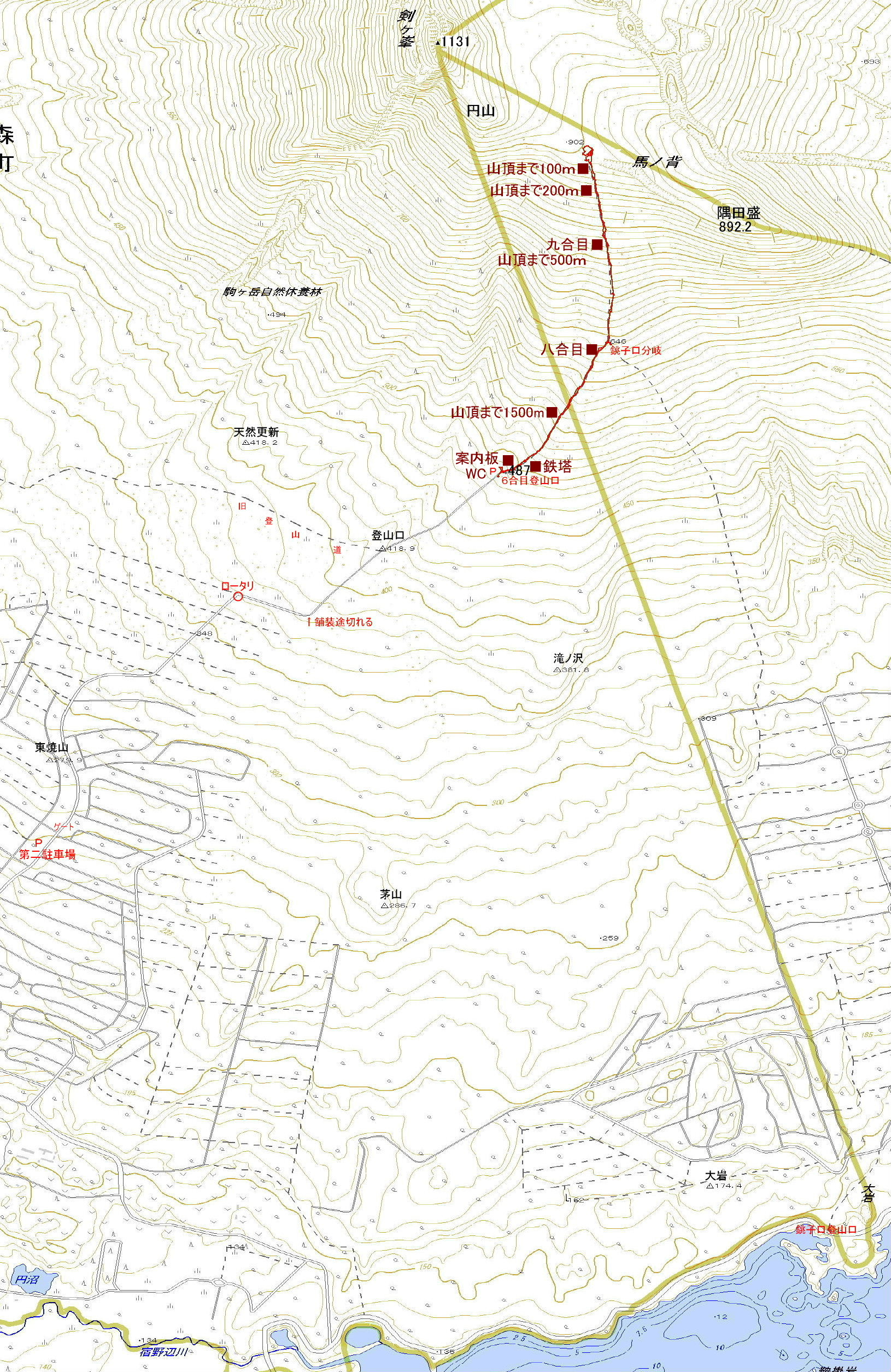
Mt.Komagadake (駒ヶ岳) is an active stratovolcano in the Onuma Quasi-national
Park. Mt.Komagadake is composed of Mt.Kengamine(剣ヶ峯1,131m) , Mt.saharadake(砂原岳1,112.2m)
and Mt.Sumidamori(隅田盛892m). As Mt.Kengamine is a head of horse, main ridge
is the body of horse, it was named Mt.Komagadake in japanese. Koma means
horse. Climbing is the end in the main ridge called "Umanose(890m)",because
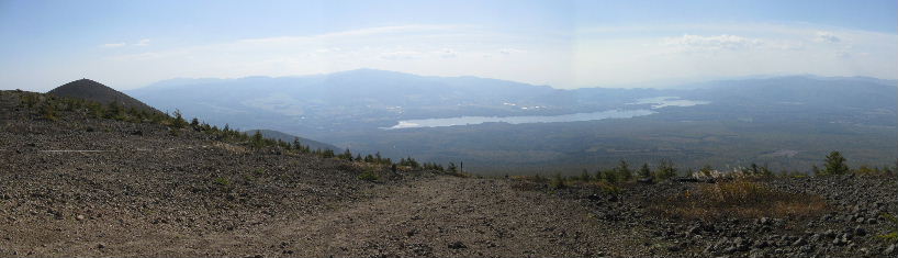
volcanic activity of the mountain is so active. From the Main ridge you
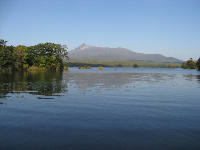
will be overlooking the Onuma pond.
Map of GSI Map of Google GPS track
|