| Mt.Kamihorokamettokuyama(上ホロカメットク山1,920m) =Tokachi Volcanic Group= |
|
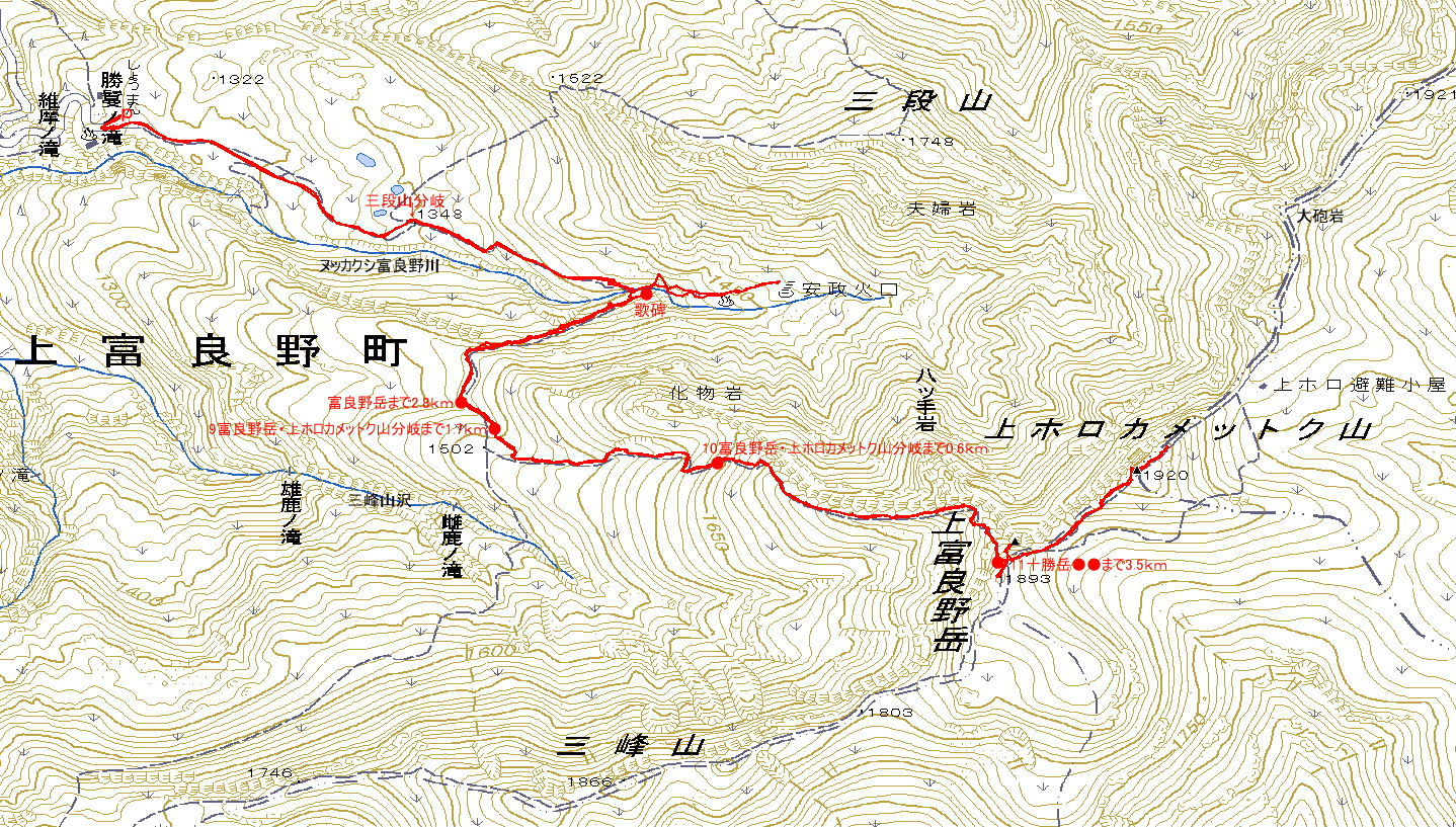
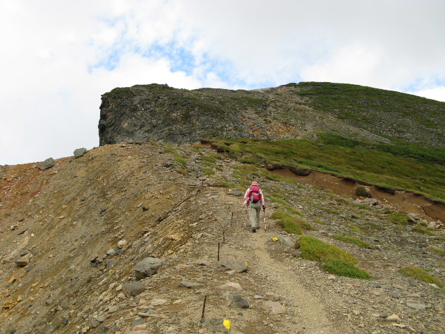
Guide The Kamihorokamettokuyama is an active volcano located in Tokachi Volcanic Group. There are several trails to the peak. The most popular is the hot spring trail called Tokachidake Onsen(十勝岳温泉). Map of GSI Map of Google GPS track |
| Ascent: 2hours and 30mins , descent: 2hours |
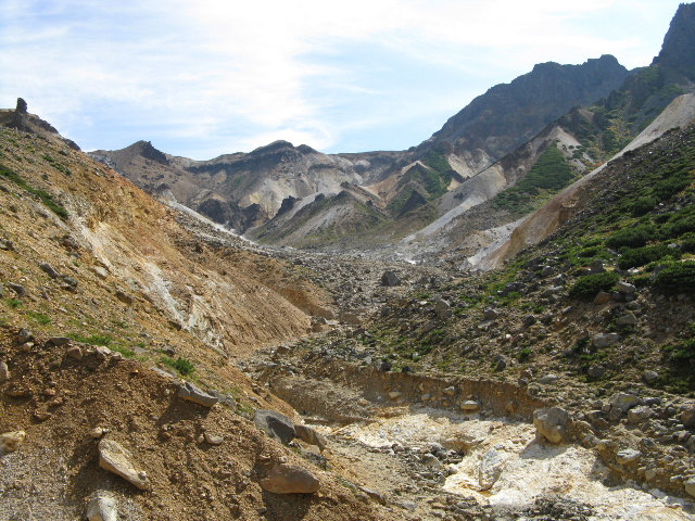 |
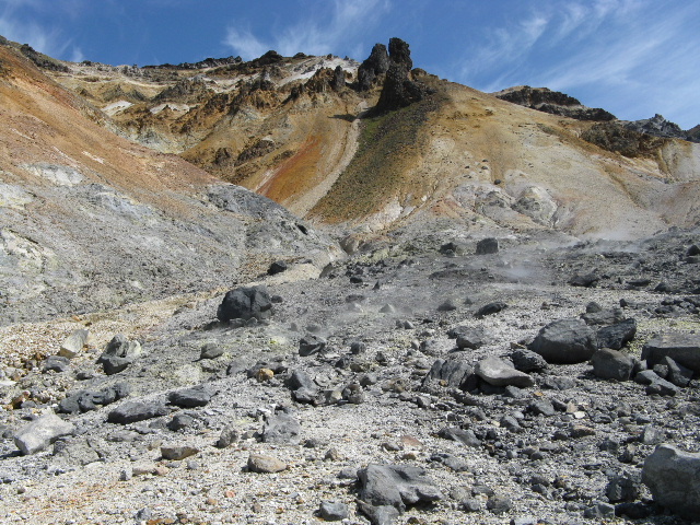
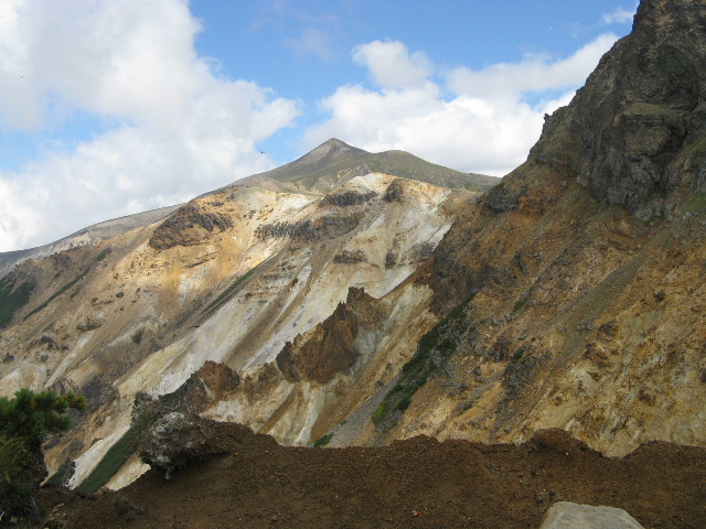
| Ansei Crater |
 |
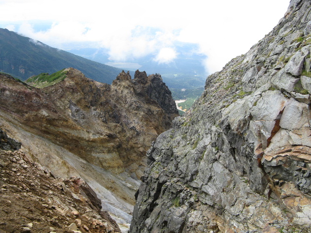
| Rock formations that are called Meotoiwa |
 |
| The inside of the Anseikako crater |
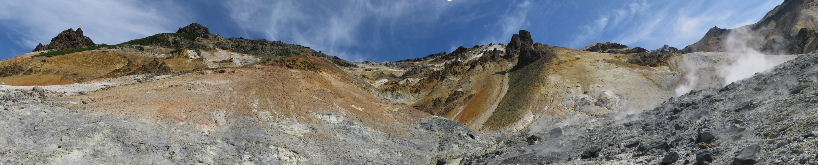 |
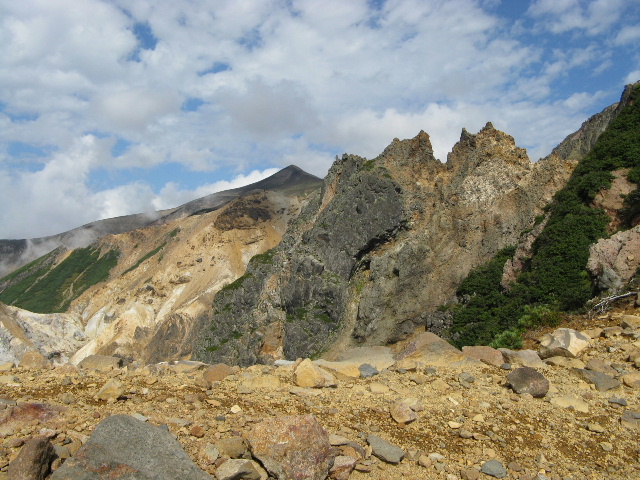
| Mt.Sandanyama Meotoiwa Anseikako crater |
 |
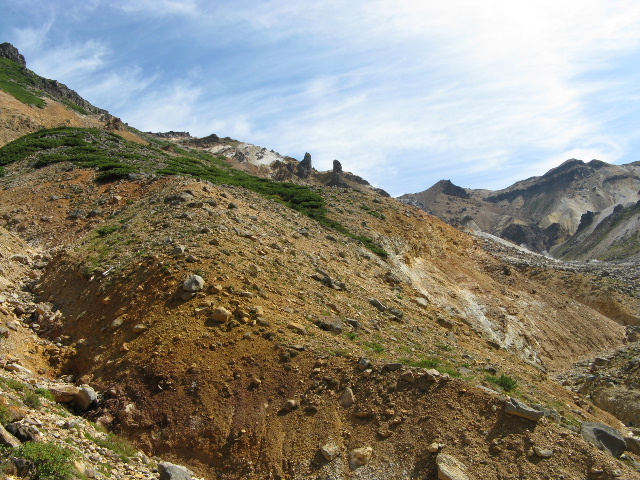
| Yatsude Rock D Ridge Monster rock |
 |
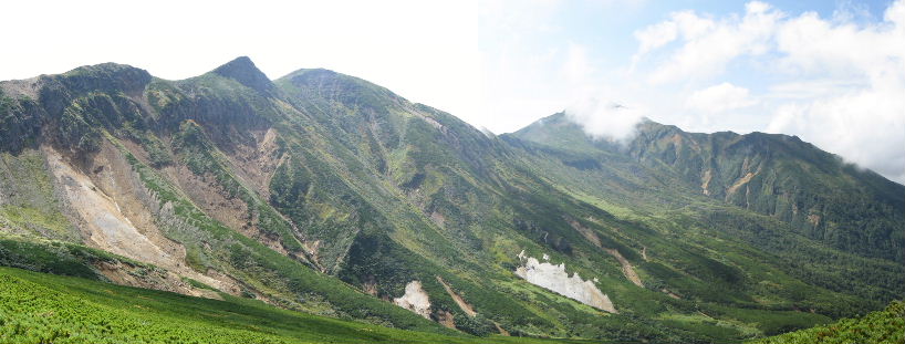
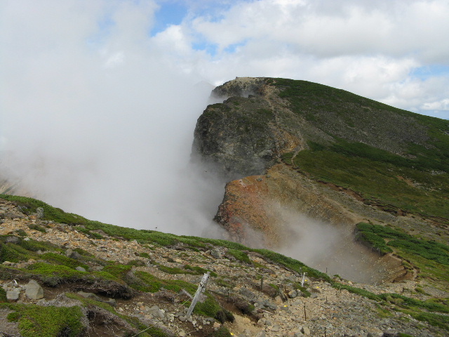
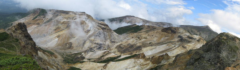
| The Ansei crater and Mt.Tokachidake |
 |
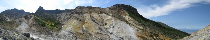
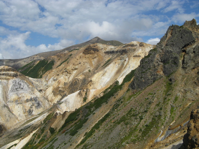
| Mt.Sandanyama OP Ridge Cannon Rock Mt.Tokachidake |
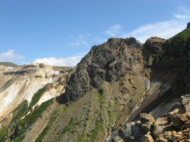 |
| Yatsude Rock |
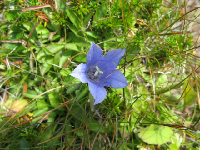 |
| C.laiocarpa (イワギキョウ:iwagikyo) |
 |
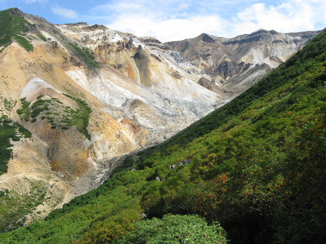
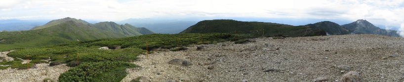
| Mt.Sanpozan Mt.Furanodake |
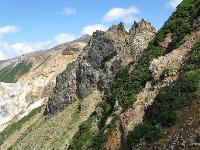 |
| Yatsude Rock |
 |
| Mt.Tokachidake |
 |
| Mt.Kmihorokamettokuyama |
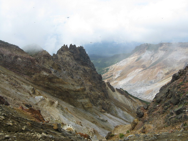 |
| Yatsude Rock |
 |
| Mt.Kmihorokamettokuyama |
 |
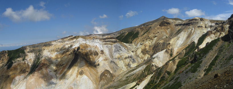
| Mt.Tokachidake |
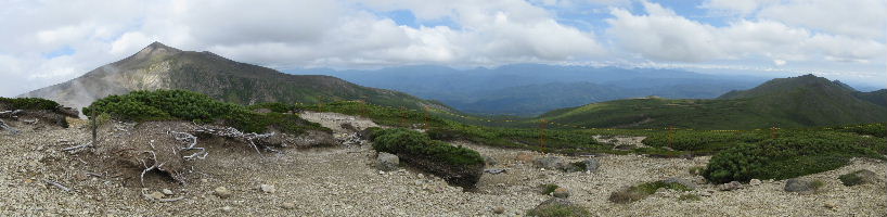 |
| Mt.Tokachidake Mt.Nipesotuyama Mt.Upepesankeyama Mt.Sakaiyama |
 |
| Mt.Sakaiyama Mt.Simohorokamettokuyama Hidaka Range Mt.Sanpozan Mt.Furanodake |
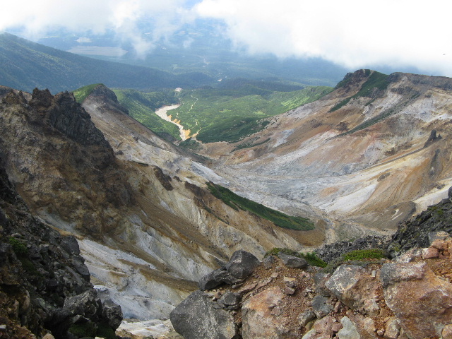 |
| The Ansei Crater |
 |
| Yatsude Rock |
| You incline the head to the right 45 degrees, and, please look this photograph,because stability inclines to the right 45 degrees |
 |
| Yatsude Rock Ansei Crater Mt.Sandanyama Mt.Tokachidake Mt.kamihoro |
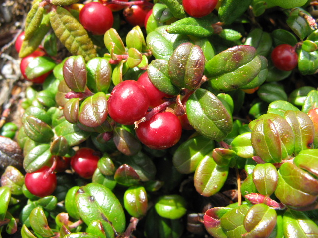 |
| V.vitis-idaea (コケモモ:kokemomo) |
 |
| Mt.Tokachidake and Ytusude Rock |
 |
| Mt.Tokachidake |
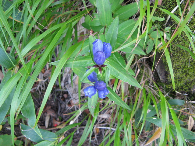 |
| G.triflora v.montana (エゾオヤマノリンドウ:ezooyamanorindo) |
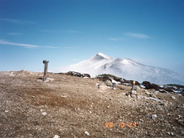 |
| view of Mt.Tokachidake of the first snowcap from the mountaintop |
|
INDEX Record of hiking |