| Mt.Esan(恵山617.6m) |
|
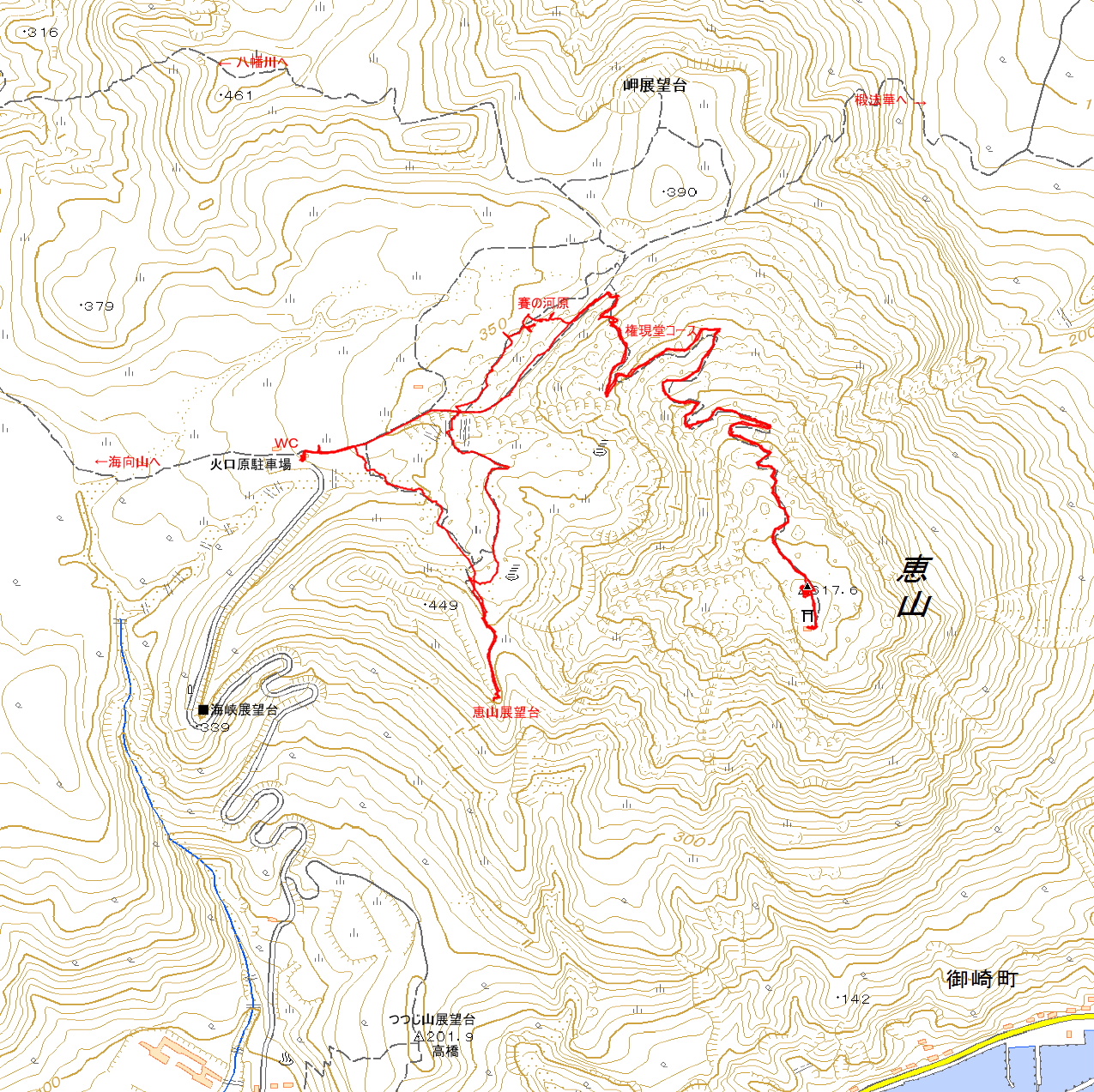
Guide Mt.Esan (恵山) is an active volcano located in Esan Hokkaido Prefectural Natural Park. Mt.Esan is located on the Kameda Peninsula in Hakodate City. There are three hiking trails, but the most common one is from the Kakogen Parking Lot(火口原駐車場). Map of GSI Map of Google GPS track |
| Ascent: 1 hour,descent: 5 0 minutes |
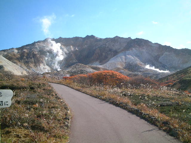 |
| view of Mt.Esan at foot of mountain |
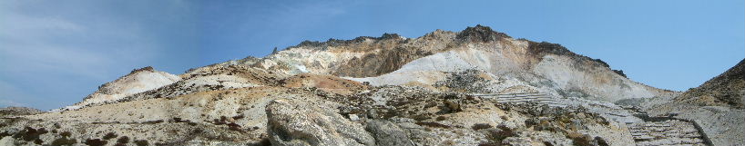 |
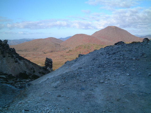
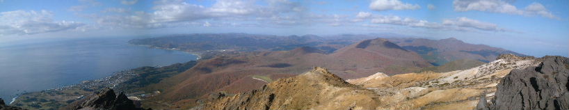
| Panoramic view of Mt.Esan |
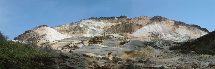 |
| Panoramic view of Mt.Esan(more approaching) |
 |
| view of Mt.Kaikozan( looking back ) |
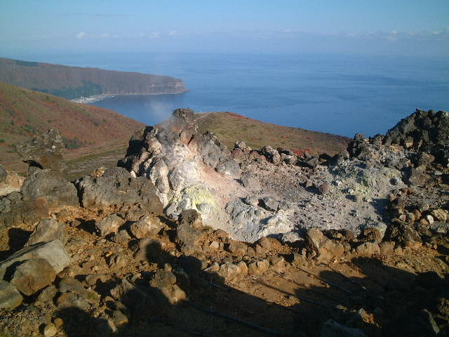 |
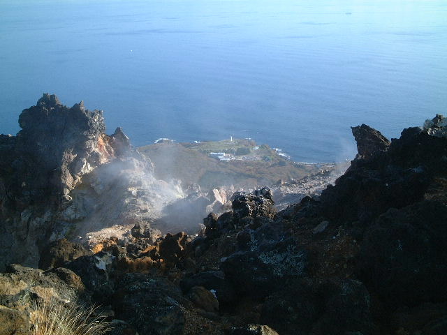
| the Esan cape over the crater |
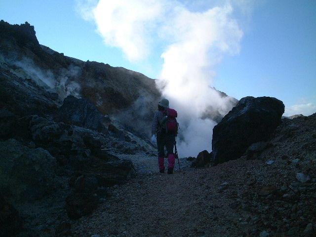 |
| Water vapor blown out by the roadside |
 |
| view of Pacific Ocean |
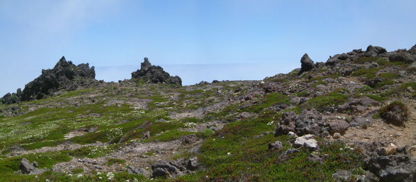 |
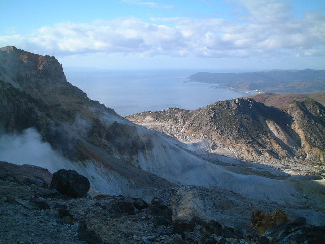
| view of Rock formations and flowers garden |
 |
| Esan Lighthouse |
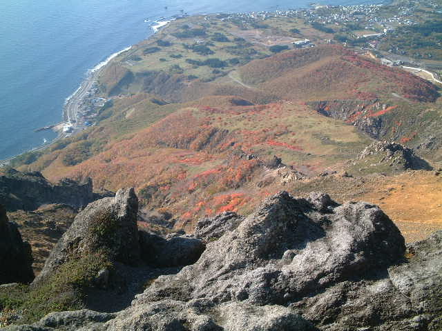 |
| Autumn leaves |
 |
| Beautiful coastline |
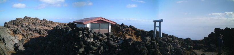 |
| Top of Mt.Esan |
 |
| Mt.Kaikouzan |
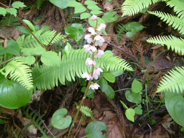 |
| P.japonica (ベニバナイチヤクソウ:benibanaichiyakuso) |
 |
| Enkianthus campanulatus (サラサドウダンツツジ:sarasadodantutuji) |
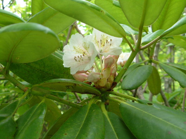 |
| R.brachycarpum (シャクナゲ:shakunage) |
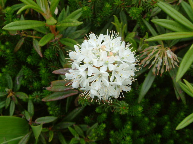 |
| Ledum palustre diversipilosum (イソツツジ:isotutuji) |
|
INDEX Record of hiking |