| Mt.Asahidake(ˆ®ٹx2,290.9m) =Taisetsuzan Volcanic Group= |
|
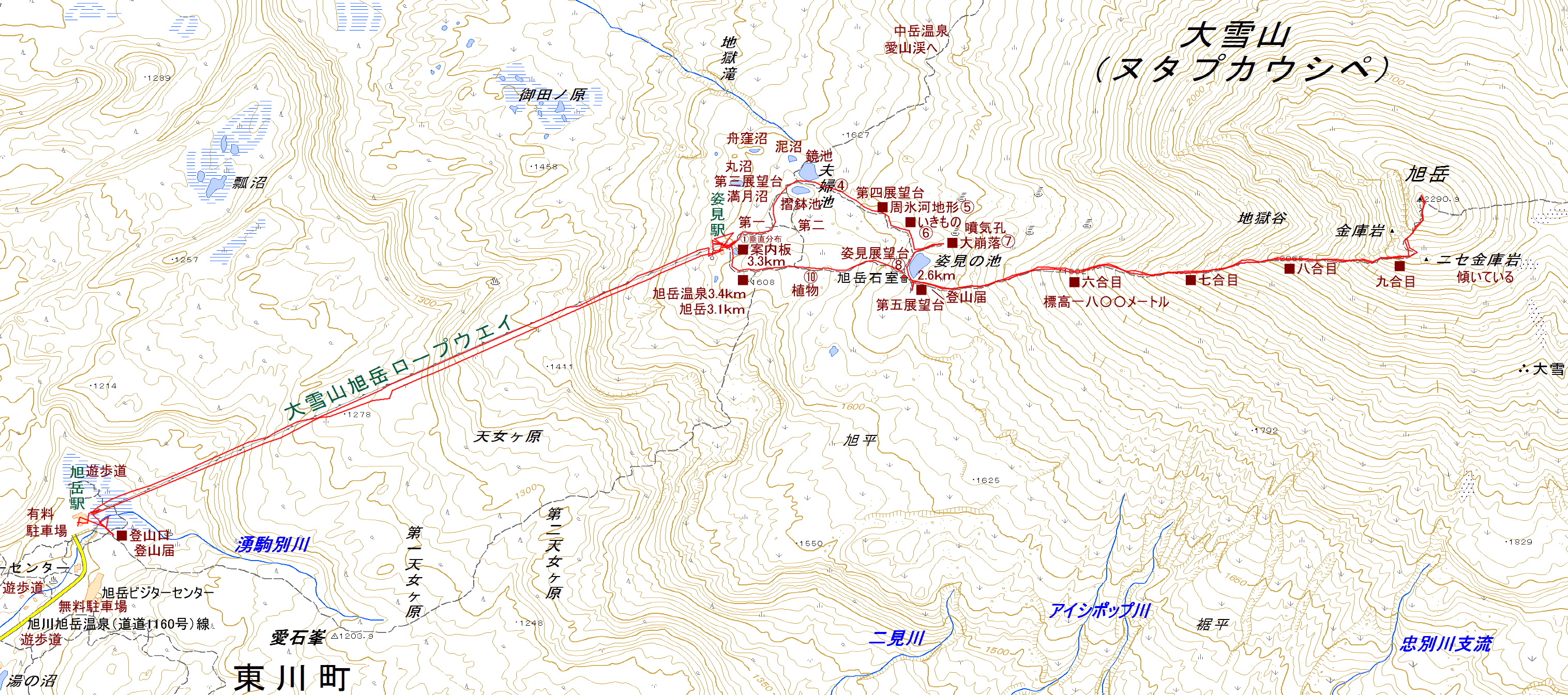
پ@Guide پ@The Daisetsuzan volcanic group is collectively called Daisetsuzanپi‘هگلژRپjand is designated as a national park. This national park is located in the central part of Hokkaido. Asahidake is the highest peak in Hokkaido. A large caldera called Ohachidaira has been formed in the center of Daisetsuzan. The main mountains surrounding the caldera are as follows: پ@Mt.Asahidakeپiˆ®ٹxپj2,291m Mt.Kurodakeپiچ•ٹxپj1,984m Mt.Akadakeپiگشٹxپj2,078m Mt.midoridakeپi—خٹxپj2,019m Mt.hakuundakeپi”’‰_ٹxپj2,230m پ@Map of GSI پ@Map of Googleپ@پ@GPS track |
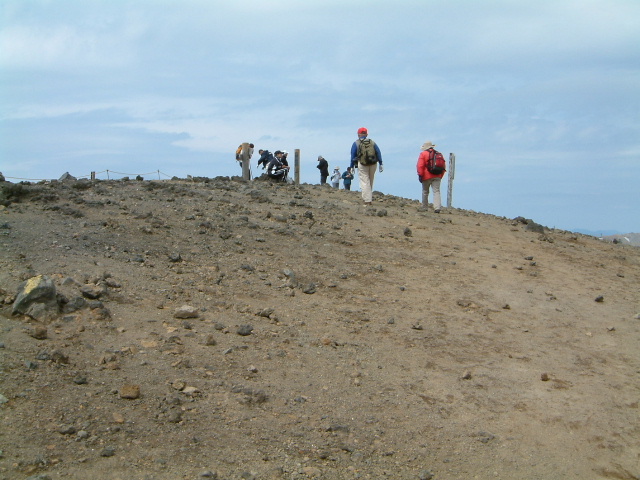
| ‚`scent: 2 hours 20 minutes, descent: 2 hours 10 minutes |
| پ@Take the gondola from Sanroku Station (ژRک[‰wپF1,100m at the base of the mountain) to Sugatami Station (ژpŒ©‰wپF 1,600m). |
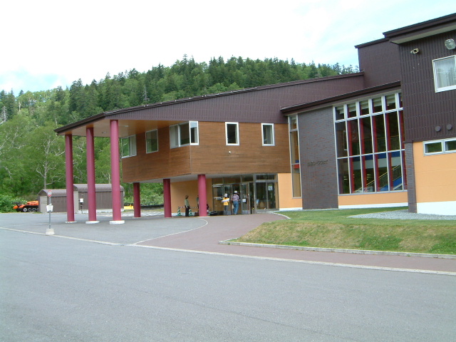 |
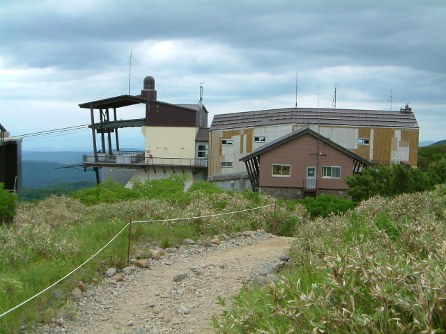
| Foot of the mountain ropeway station پiژRک[‰wپj |
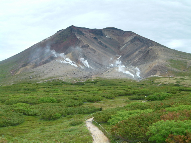 |
| view of Mt.Asahidake |
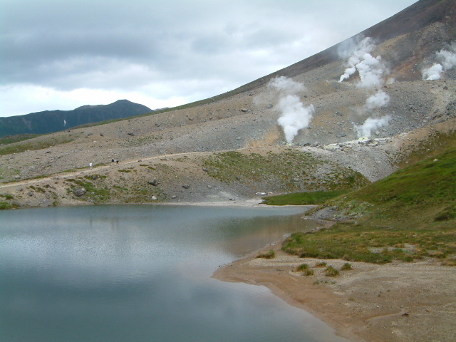
| پ@There is a walking path around Sugatami Pond, and beautiful ponds are dotted around it. |
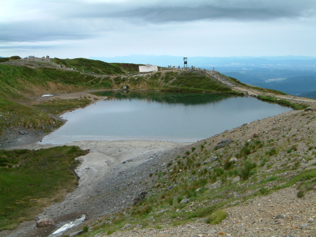 |
| Pond named Sugataminoike پiژpŒ©‚ج’rپj |
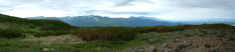 |
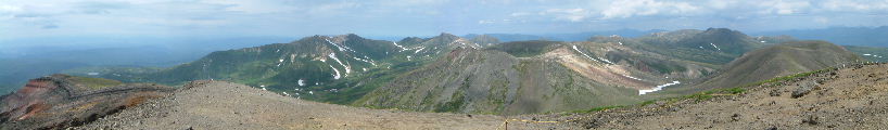
| Tokachi mountain range |
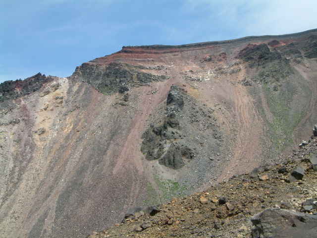 |
| view of Red wall |
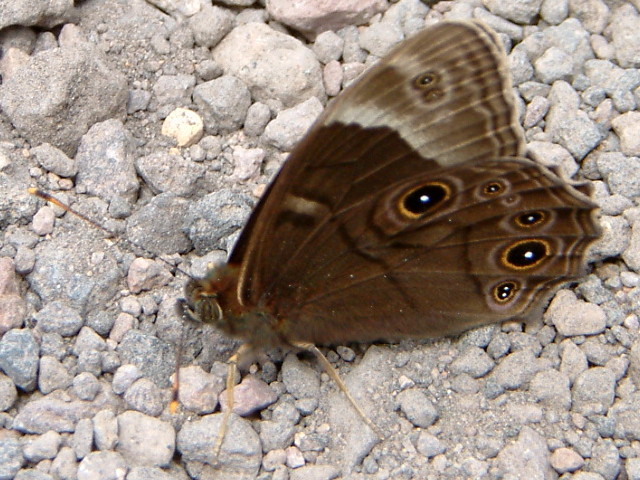 |
| Minois Dryad پiƒWƒƒƒmƒپƒ`ƒ‡ƒEپFjanomechoپj |
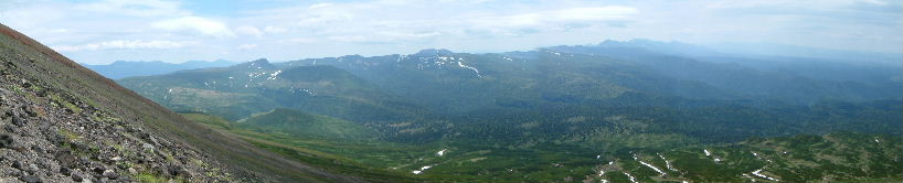 |
| Mt.chuubetudakeپi’‰•تٹxپjMT.tomurausiyamaپiƒgƒ€ƒ‰ƒEƒVژRپj Tokachi mountain range |
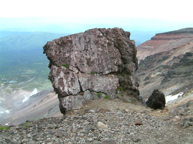 |
| Rock named kinkoiwa;Form such as safe پi‹àŒةٹâپFkinkoiwaپj |
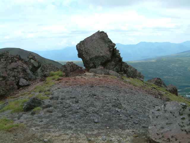 |
| Rock named nisekinkoiwaپiIt is often mistaken for Kinkoiwaپj پiƒjƒZ‹àŒةٹâپFnisekinkoiwaپj |
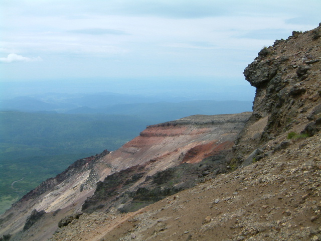 |
| view of Red wall |
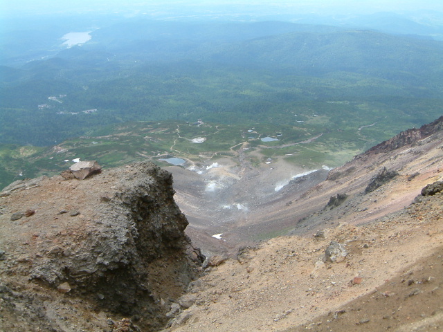 |
| View of Crater |
 |
| Top of Mt.Asahidake |
 |
| Large caldera named ohachidaira پiŒن”«•½پFohachidairaپj |
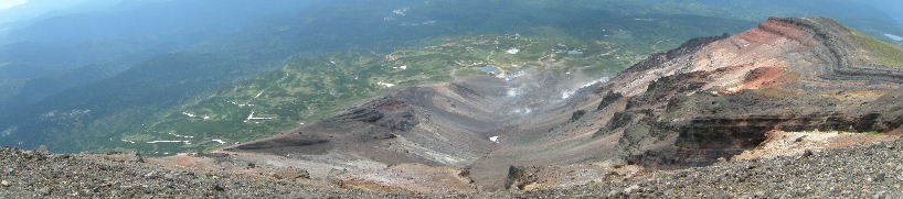 |
| Inside the crater |
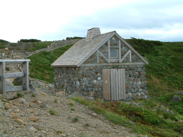 |
| Hutte asahidake-isimuro پiˆ®ٹxگخژ؛پj |
 |
| Pond named Sugataminoike پiژpŒ©‚ج’rپj |
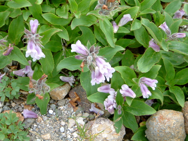 |
| Psntstemon frutescens پiƒCƒڈƒuƒNƒچپFiwabukuroپj |
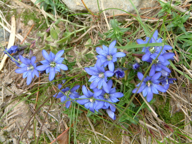 |
| Gentiana nipponica پiƒtƒfƒٹƒ“ƒhƒEپFfuderindoپj |
 |
| Phyllodoce aleutica پiƒAƒIƒmƒcƒKƒUƒNƒ‰پFaonotugazakuraپj |
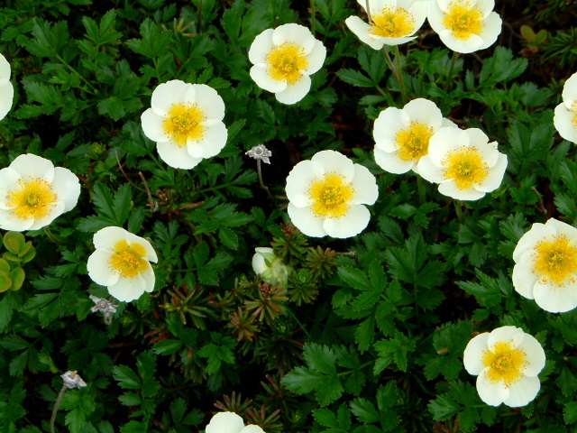 |
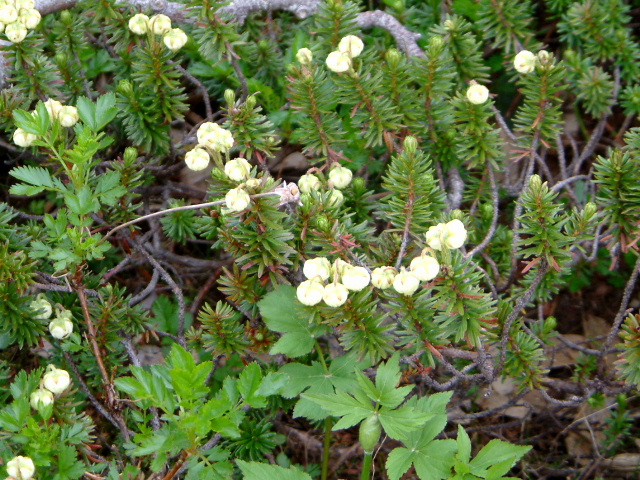
| Geum pentapetalum پiƒ`ƒ“ƒOƒ‹ƒ}پFchingurumaپj |
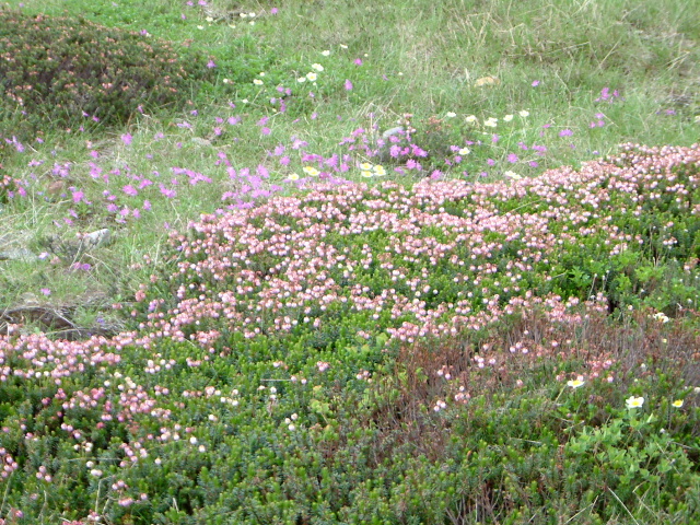 |
| Phyllodoce caerulea and Primula cuneifolia پiƒGƒ]ƒcƒKƒUƒNƒ‰پFezotugazakuraپj |
 |
| Station sugatami of the ropeway پiژpŒ©‰wپj |
|
INDEXپ@پ@پ@پ@پ@پ@Record of hiking |