| Mt.Akadake(赤岳 2,078.5m) =Taisetsuzan Volcanic Group= |
|
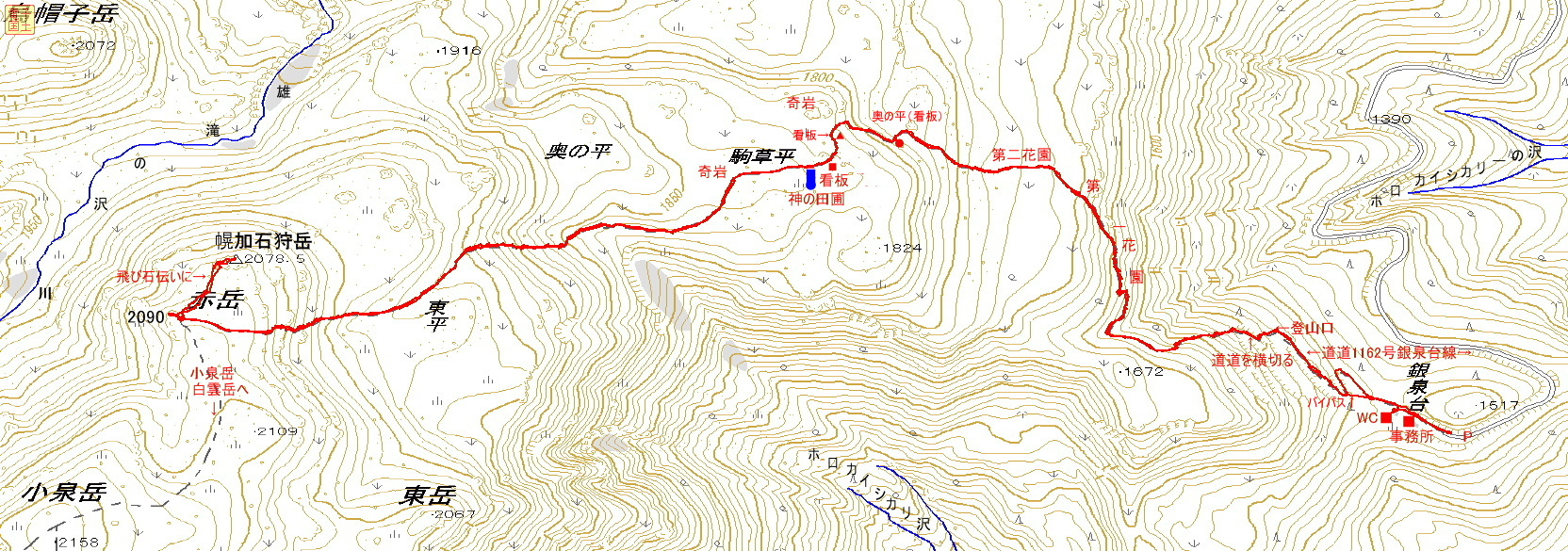
Guide Ginsendai (銀泉台) is the trailhead for Mt. Akadake. It is a popular spot for tourists and hikers during the autumn foliage season. Please drive carefully as the roads are busy, narrow and unpaved. A well-maintained trail leads to the summit. Map of GSI Map of Google GPS track |
| Ascent: 2 hours 20 minutes, descent: 2 hours |
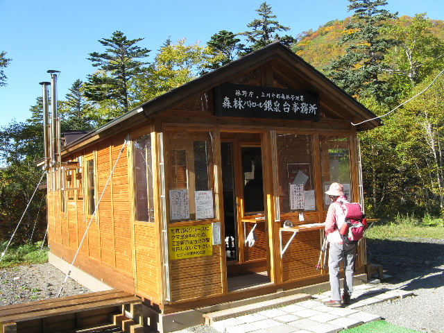 |
| Forest management station |
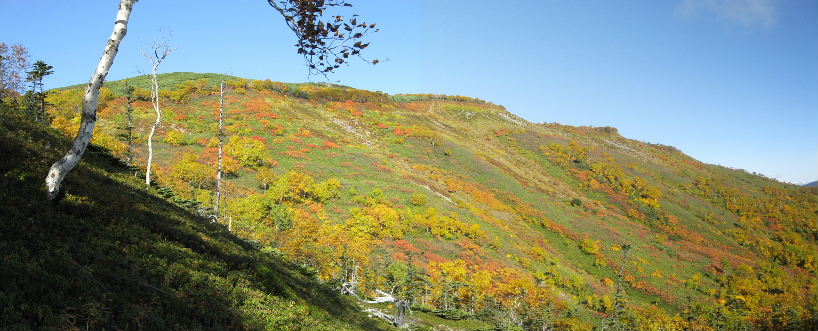 |
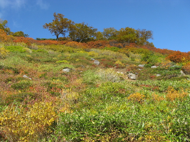
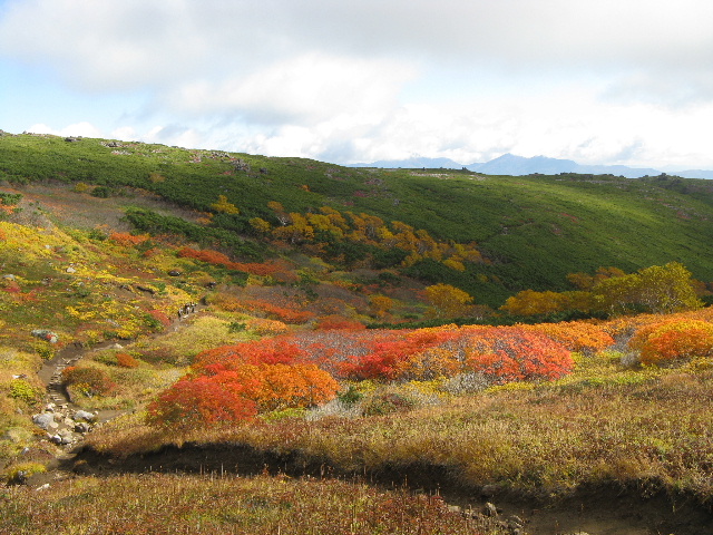
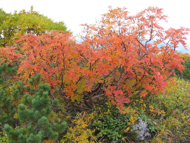
| The surface of mountain of beautiful colored leaves |
 |
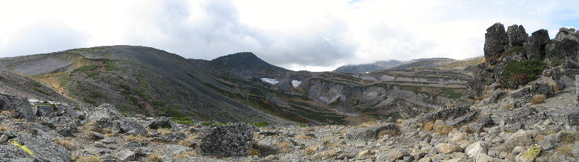
| Mt.Niseikaushuppeyama MT.Hirayama(平山) Mt.Byoubudake(屏風岳) |
 |
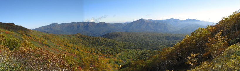
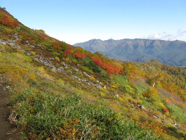
| Autumn leaves in full swing |
 |
| Mt.Niseikaushuppeyama |
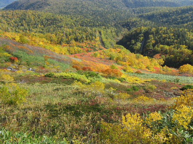 |
| Valley of autumn leaves in full swing |
 |
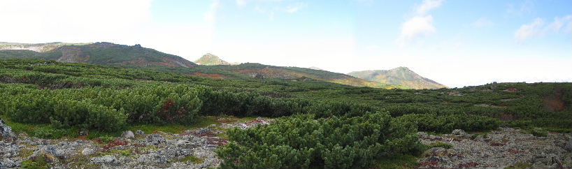
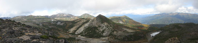
| Mt.Byobudake(屏風岳) MT.Muriidake(武利岳) Mt.Mikuniyama(三国山) |
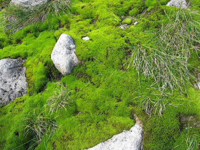 |
| Clean moss |
 |
| Mt.Byobudake and autumn leaves |
 |
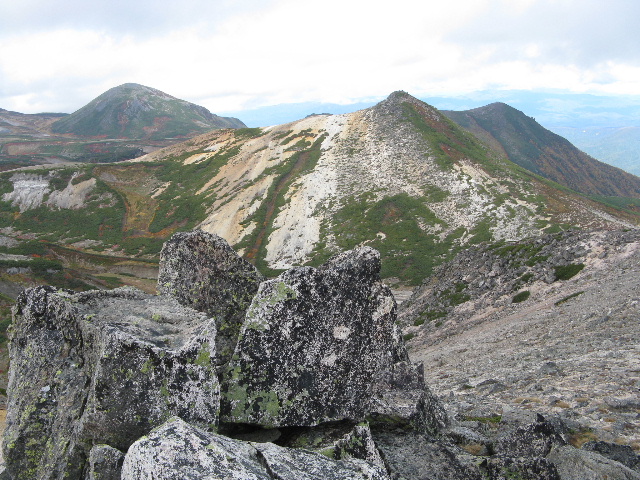
| Mt.Akadake(赤岳) MT.Ebosidake(烏帽子岳) Mt.Kurodake(黒岳) |
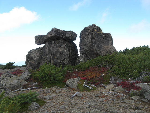 |
| Rock of strange shape |
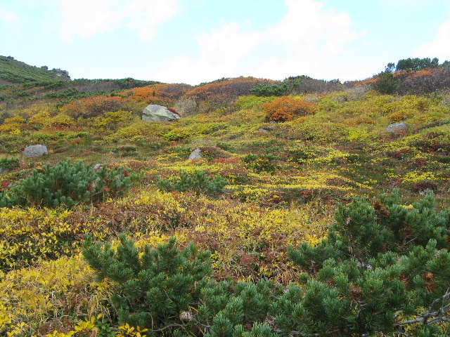 |
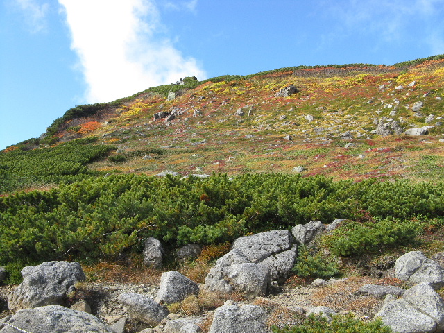
| Autumn leaves in full swing |
 |
| Autumn leaves in full swing |
 |
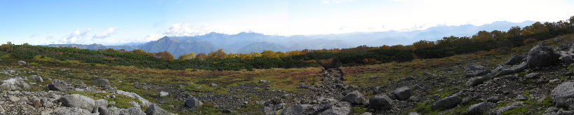
| Clouds welling up |
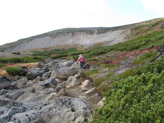 |
| Big rock lying about |
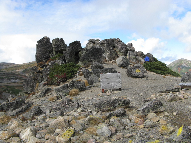 |
| Top of the rock |
 |
| Mt.Koizumidake(小泉岳) MT.Hakuundake(白雲岳) Mt.Asahidake(旭岳) |
 |
| Mt.Asahidake旭岳 MT.Hokuchindake北鎮岳 Mt.Hakuundake烏帽子岳 Mt.Tesiodake天塩岳 |
 |
| Mt.Hakuundake(烏帽子岳) |
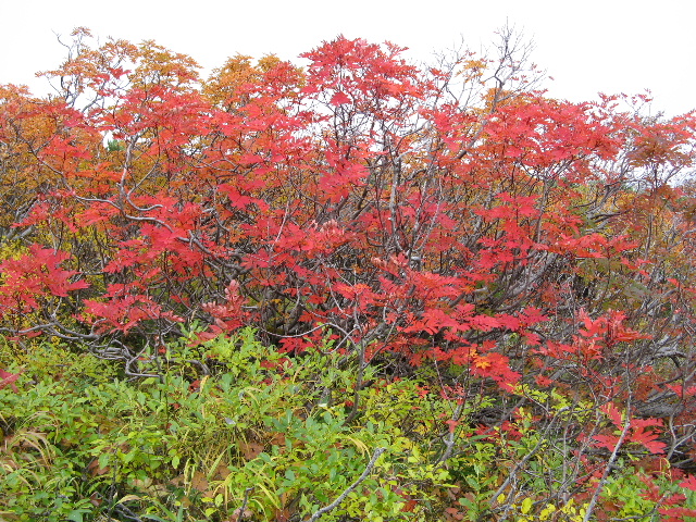 |
| Autumn leaves (紅葉:koyo) |
 |
| Autumn leaves |
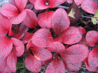 |
| Arctous alpinus v.japonicus (ウラシマツツジ:urasimatutuji) |
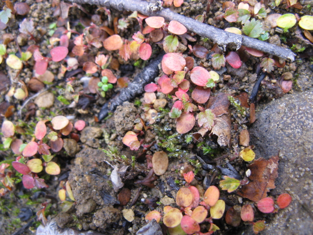 |
| Small autumn leaves |
|
INDEX Record of hiking |