| Mt.Tokachidake(十勝岳2,077m) =Tokachi Volcanic Group= |
|
Guide The Tokachidake(十勝岳)is an active volcano located in the south of Daisetsuzan National Park,Hokkaido. Mt.Tokachidake was named because it is the headwaters of the Tokachi River. It is the tallest volcano of the Tokachi Volcanic Group. The main peaks are as follows. Mt.Oputatesikeyama(オプタテシケ山)2,012m Mt.Bieifuji(美瑛富士)1,888m Mt.Bieidake(美瑛岳)2,052m Mt.Tokachidake(十勝岳)2,077m Mt.Kamihorokamettokuyama(上ホロカメットク山)1,920m Mt.Furanodake(富良野岳)1,912m There are several trails to the peak. Trail of Bougakudai(望岳台) is the most popular. Map of GSI GPS track Map of Google |
| The corse takes about 3 and half hours to hike up to the summit, and 3hours for the return tirp. |
| When viewed from Bogakudai at the foot of the mountain, it is continuous Mt.Bieifuji,Mt.Bieidake, Mt.Tokachidake and Mt.Sandanyama. from the left. |
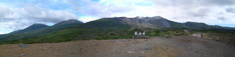 |
| Mt.Bieifuji Mt.Bieidake Mt.Tokachidake Mt.Sandanyama |
| The hillside of the mountain, there is a hut for emergency shelter(十勝岳避難小屋). |
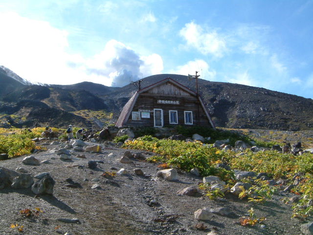 |
| Hut Emergency shelter |
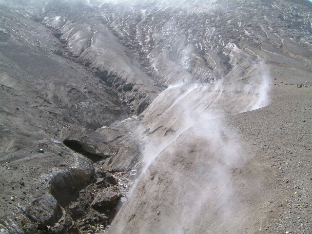
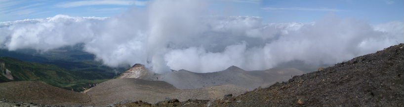
| Plume is constantly rising from the crater. |
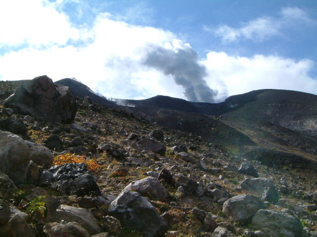 |
| Plume from the crater |
| On the slopes of volcanic ash, Hut can be seen small. |
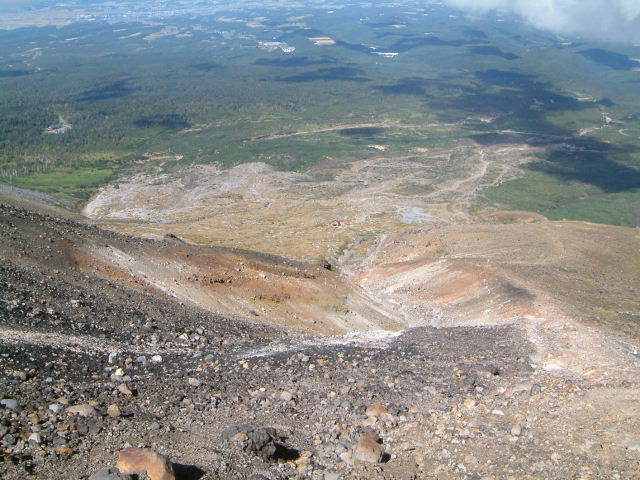 |
| Hut can be seen small |
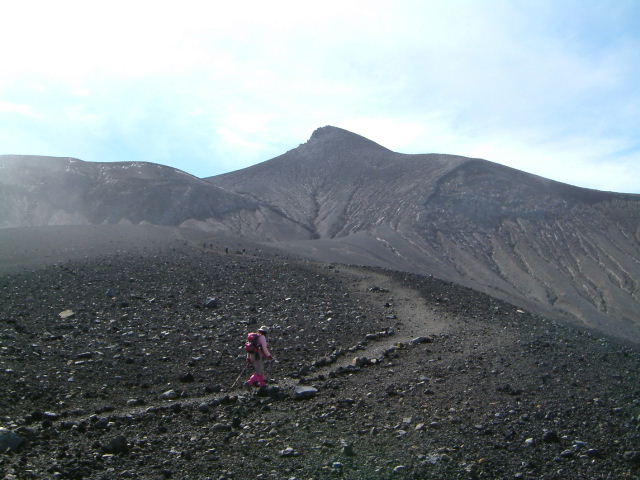
| Summit appears to be still far away. |
 |
| Summit can be seen |
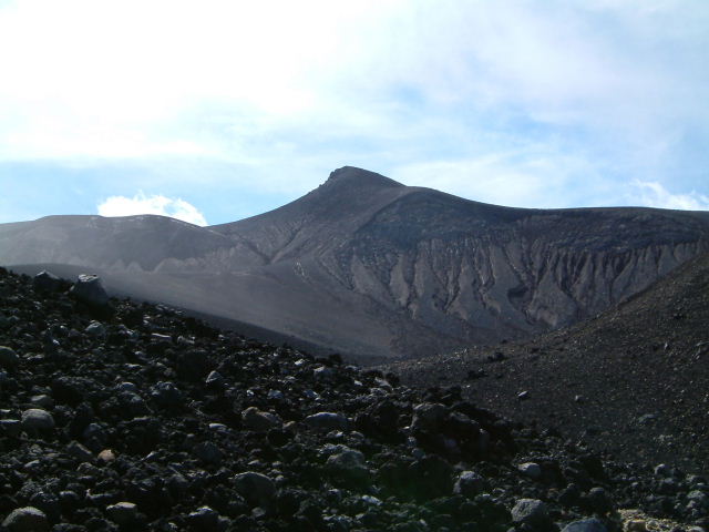
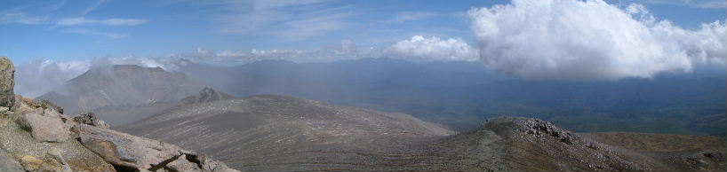
| If you go up to the ridge, you can see the whole picture of Mt.Tokachidake. |
 |
| view of Mt.Tokachidake from the ridge |
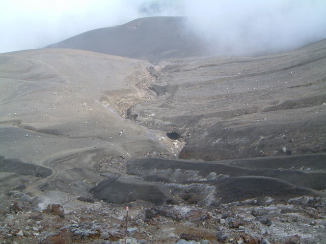
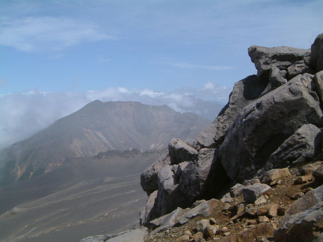
| There is a funnel-shaped crater named Suribachi(摺鉢火口). |
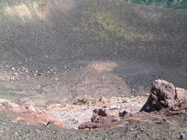 |
| In the crater Suribachi(摺鉢火口) |
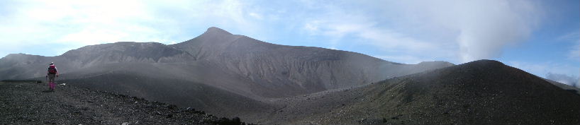
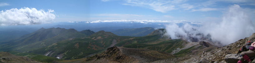
| When walking the ridge, Mt.Bieidake, Mt.Nokodake has come into view. Mt.Nokodake is shaped like a saw as the name." |
 |
| Mt.Bieidake Mt.Nokodake |
 |
| view of the summit |
 |
| 62-ⅡCrater |
| Water vapor is hung over from the snow filled the swamp. |
 |
| Swamp that is filled with snow |
| It looks like volcanic ash, but there is snow under it. |
 |
| Valley of snow |
| When you begin to look up close to top, the slope of the mountain trail is tight. |
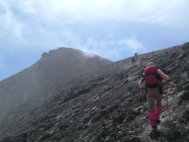 |
| while looking up at the top |
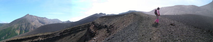
| To the west of the summit, Mt.Kamihorokamettokuyama, Mt.Sanpozan and Mt.Furanodake is visible,Mt.Furanonishidake is visible at a distance. |
 |
| Mt.Kamihorokamettokuyama Mt.Franodake Mt.Franonisidake |
| The south side of the summit ,Mt.shimohorokamettokuyama,Mt.Sakaiyama,Mt.Toyausube,and Mt.Kamihorokamettokuyama is visible. |
 |
| Mt.shimohorokamettokuyama Mt.Sakaiyama Mt.Toyausube Mt.Kamihorokamettokuyama |
| Plume is rising briskly from the 62-2Ⅱcrater. |
 |
| 62-2ⅡCrater |
 |
| view of Mt.Bieidake and Mt.Oputatesikeyama |
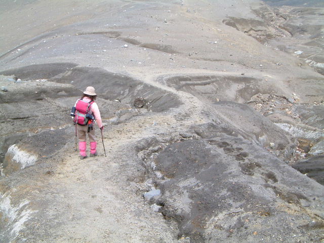 |
| Trail of soft volcanic ash |
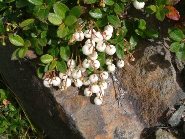 |
| Gaultheria miqueliana (シラタマノキ:siratamanoki) |
 |
| P.miyabei (メアカンキンバイ:meakankinbai) |
|
INDEX Record of hiking |