| Mt.Kurodake(黒岳1,984m) Mt.Keigetudake(桂月岳1,938m) =Taisetsuzan Volcanic Group= |
|
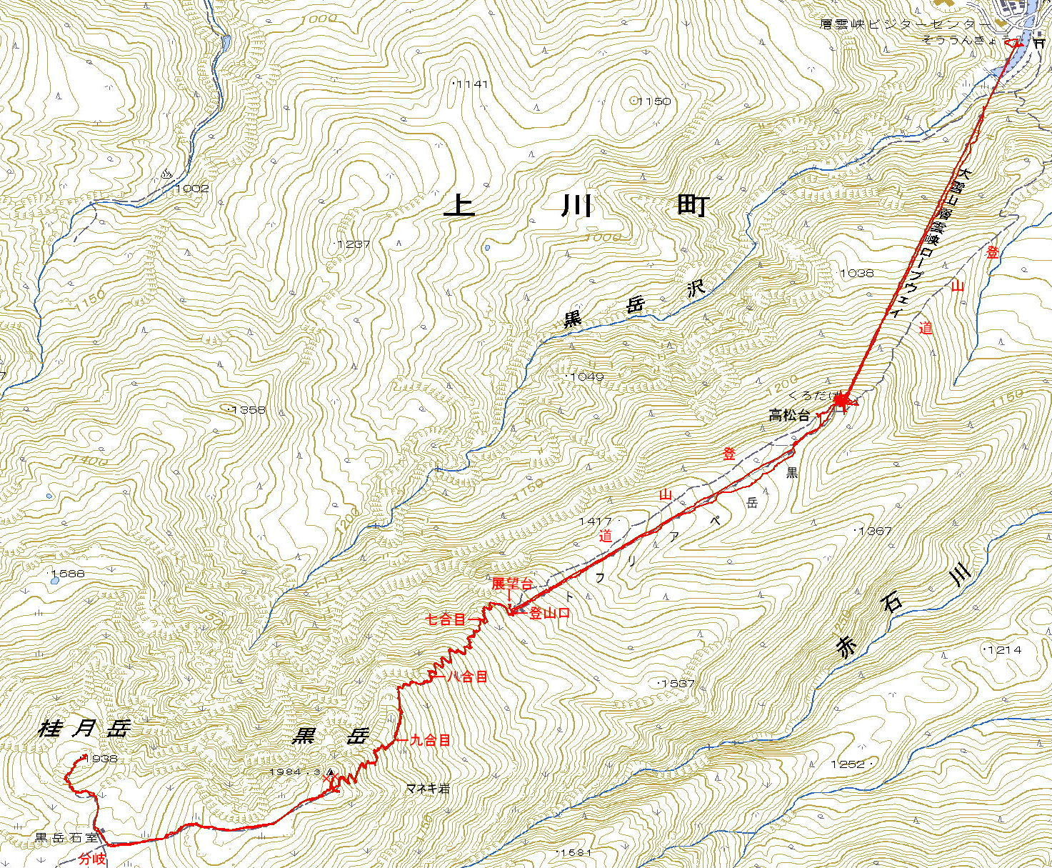
Guide Kurodake ropeway will carry you to the 5th from the foot of a mountain. In addition, Pair Lift will carry you 7th from 5th. Mountain trail well-groomed has continued to summit. Once you down to hut from Mt.Kurodake, and up to Mt.Keigetudake from the hut. Hut is named Kurodake-isimuro in japanese. Map of GSI GPS track Map of Google |
| The corse takes about 2hours to hike up to the summit, and 2hours for the return tirp. |
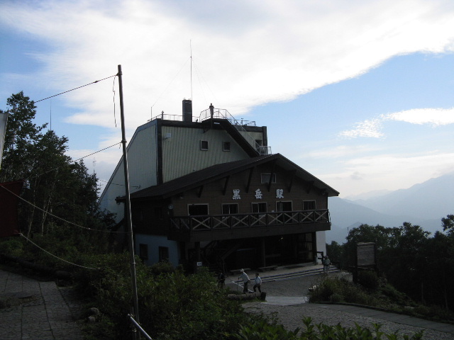 |
| 5th station Kurodake of the ropeway |
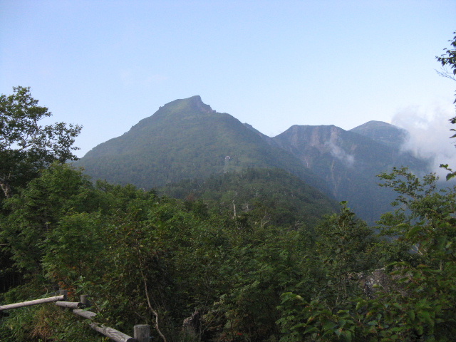 |
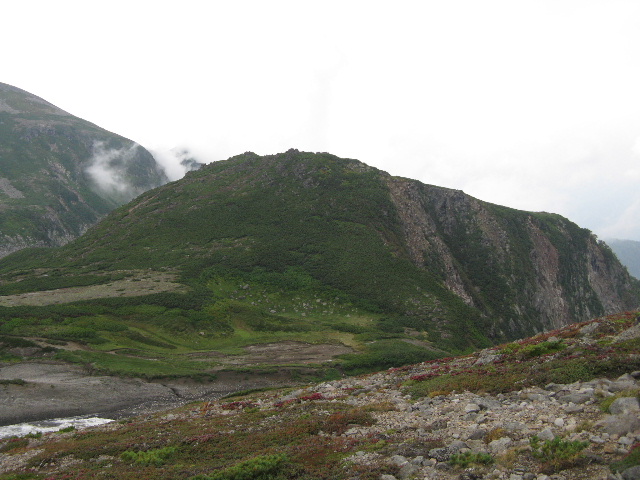
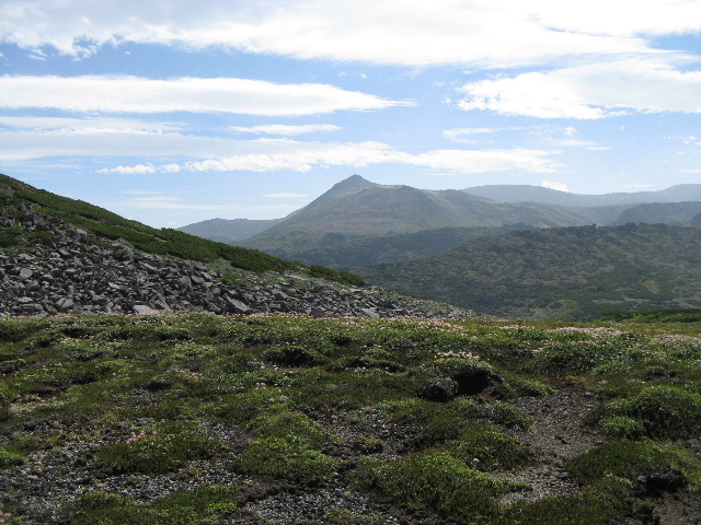
| view of Mt.Kurodake |
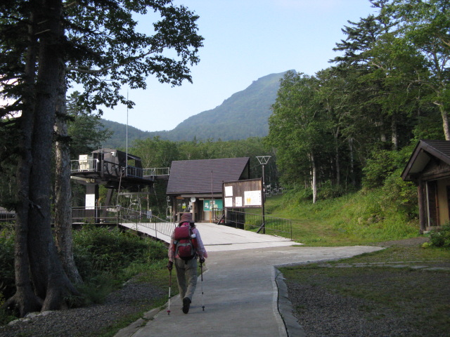 |
| 5th station of pair lift |
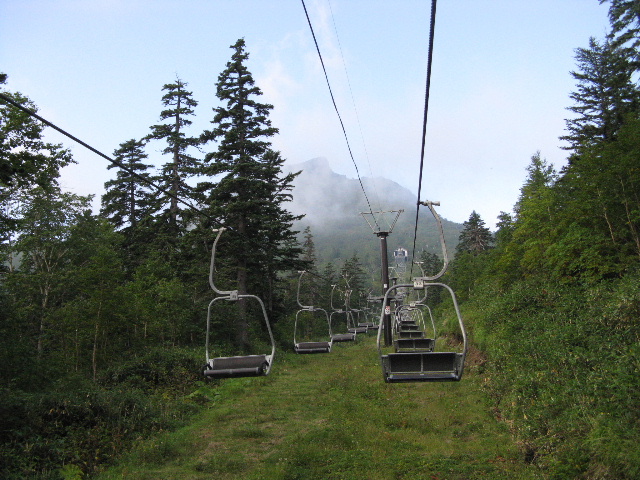 |
| Pair lift |
 |
| trailhead of 7th |
 |
| Manekiiwa Rock |
| It was named the Manekiiwa Rock because it seems to be a beckoning. |
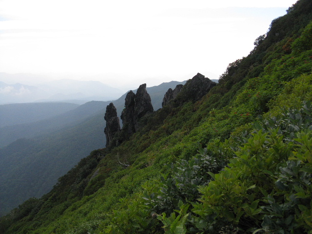 |
| Manekiiwa Rock |
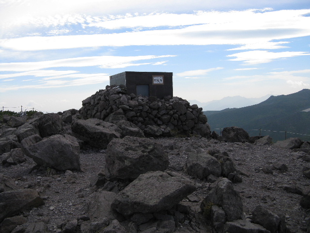 |
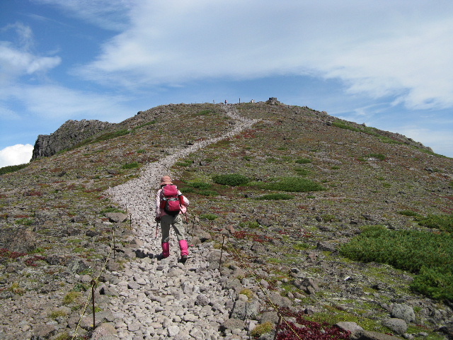
| Summit |
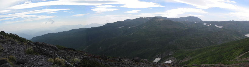 |
| Mt.Akadake(赤岳) MT.Ebosidake(烏帽子岳) Mt.Hakuundake(白雲岳) |
 |
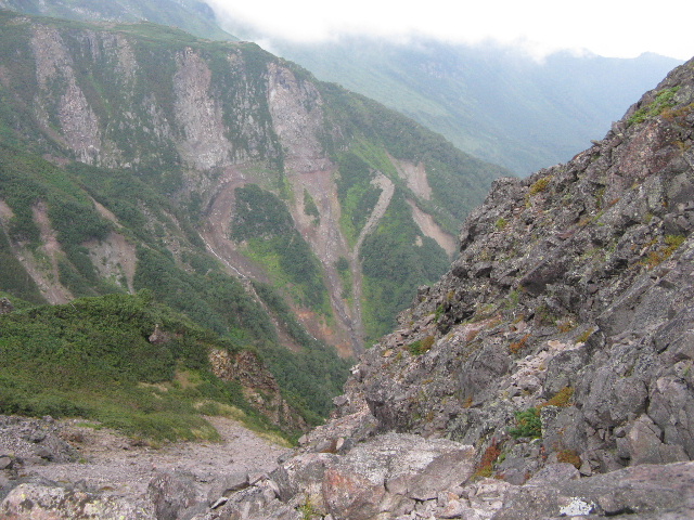
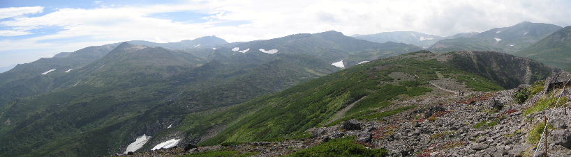
| Large caldera named ohachidaira(御鉢平) Mt.Ryoundake(凌雲岳) |
 |
| Heartbreak pattern |
 |
| Large caldera named ohachidaira |
 |
| Mt.Keigetudake |
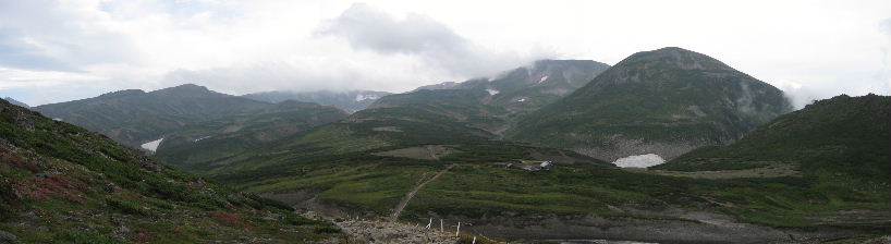 |
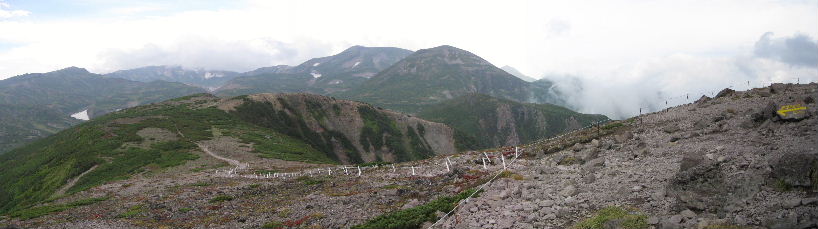
| Hut can be seen |
| Hut is called Isimuro(Stone chamber),Because the old hut was built in stone. |
 |
| Hut |
 |
| Top of Mt.Kurodake from Mt.Keigetudake |
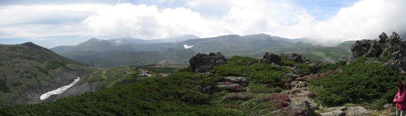 |
| MT.Ebosidake(烏帽子岳) Mt.Hakuundake(白雲岳) |
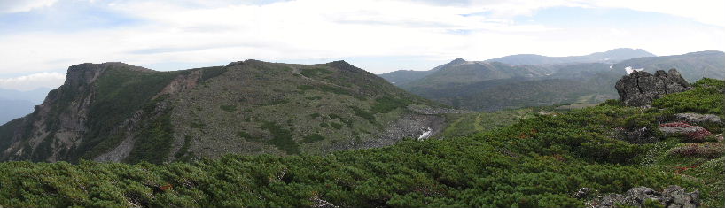 |
| Mt.Kurodake(黒岳) MT.Ebosidake(烏帽子岳) |
 |
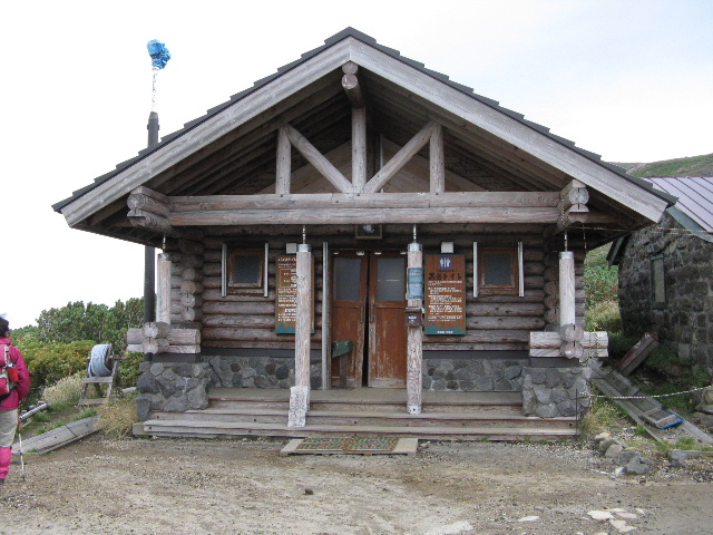
| Hut kurodake-isimuro(黒岳石室) |
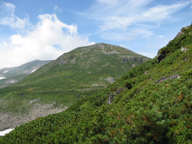 |
| Mt.Keigetudake |
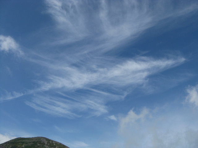 |
| Pattern of clouds |
 |
| MT.Ebosidake |
 |
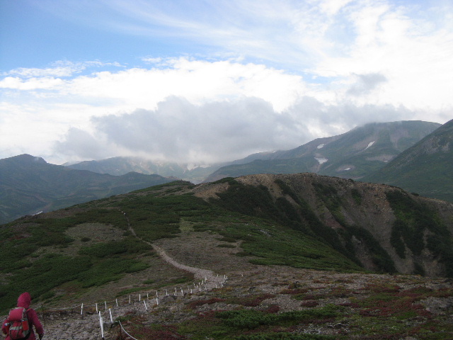
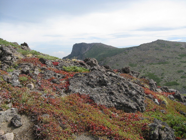
| trail to turn back to the summit of Mt.Kurodake |
 |
| MT.Ebosidake(烏帽子岳) Mt.Hakuundake(白雲岳) |
 |
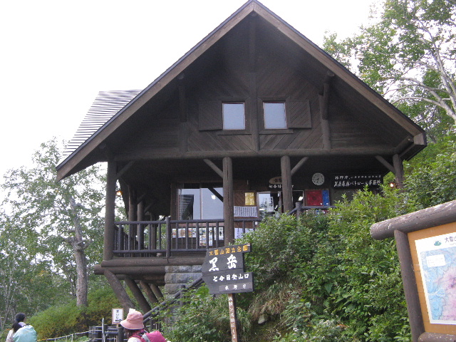
| Sounkyo Summit station of ropeway pair lift |
 |
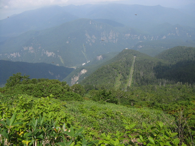
| Sounkyo Peak Eigetuho(映月峰) |
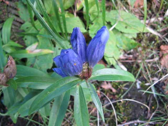 |
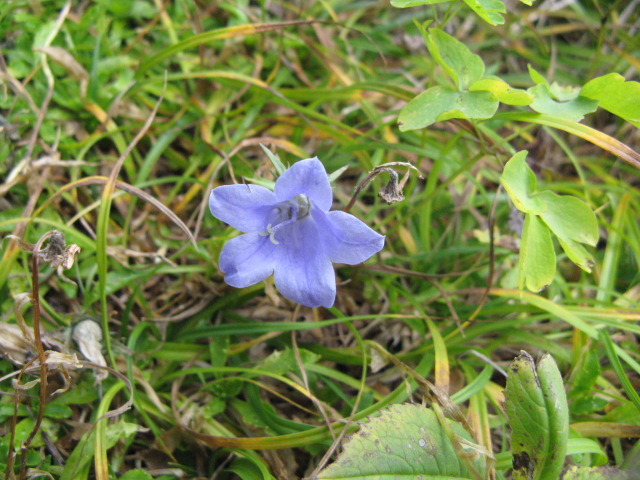
| G.triflora v.montana (エゾオヤマリンドウ:ezooyamarindo) |
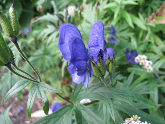 |
| A.yamazakii (ダイセツトリカブト:daisetutorikabuto) |
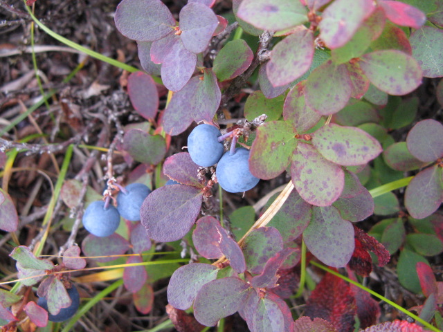 |
| V.uliginousum (クロマメノキ:kuromamenoki) |
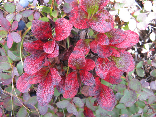 |
| Arctous alpinus v.japonicus (ウラシマツツジ:urashimatutuji) |
 |
| G.nipponica (フデリンドウ:fuderindo) |
 |
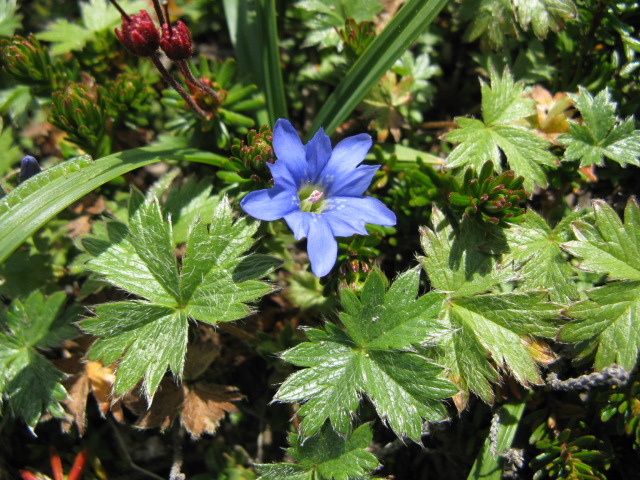
| C.lasiocarpa (イワギキョウ:iwagikyo) |
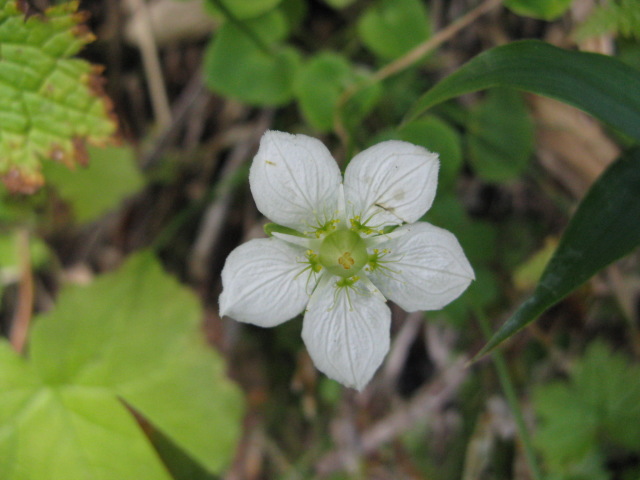 |
| Parnassia palustris (ウメバチソウ:umebachiso) |
| Riding on the gondola of st.sanroku(山麓1,100m), go up to the st.Sugatami(姿見1,600m). |
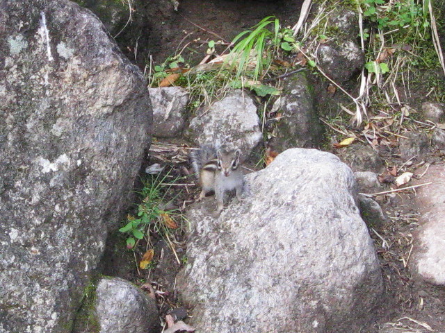 |
| chipmunk (シマリス:simarisu) |
|
INDEX Record of hiking |